Distance to Wheatland Center, New York

Calculating Your Route
Just a moment while we process your request...
Location Information
-
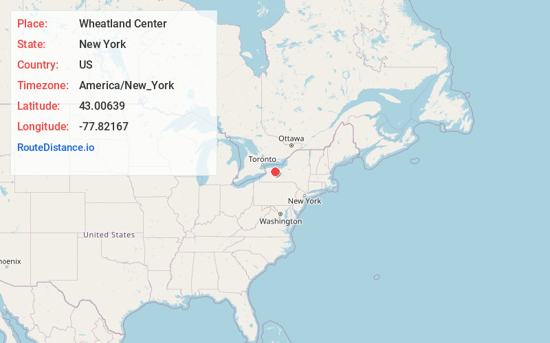
Full AddressWheatland Center, NY 14546
-
Coordinates43.00639, -77.82167
-
LocationWheatland Center , New York , US
-
TimezoneAmerica/New_York
-
Current Local Time10:31:27 AM America/New_YorkMonday, June 23, 2025
-
Page Views0
About Wheatland Center
Wheatland Center is the rural area in the Town of Wheatland surrounding the intersection of Wheatland Center and Scottsville-Mumford Roads. Once known as Hall's Corners, it today shows little evidence of its past.
Nearby Places
Found 10 places within 50 miles

Wheatland
0.5 mi
0.8 km
Wheatland, NY
Get directions

Belcoda
1.8 mi
2.9 km
Belcoda, Wheatland, NY 14428
Get directions
Mumford
2.2 mi
3.5 km
Mumford, NY 14511
Get directions

Caledonia
2.8 mi
4.5 km
Caledonia, NY 14423
Get directions
South Chili
3.9 mi
6.3 km
South Chili, Chili, NY 14546
Get directions

Scottsville
4.1 mi
6.6 km
Scottsville, NY 14546
Get directions
Limerock
5.3 mi
8.5 km
Limerock, Le Roy, NY 14482
Get directions
Canawaugus
5.9 mi
9.5 km
Canawaugus, Caledonia, NY 14423
Get directions
West Chili
6.4 mi
10.3 km
West Chili, Chili, NY 14624
Get directions
West Rush
6.5 mi
10.5 km
West Rush, NY 14543
Get directions
Location Links
Local Weather
Weather Information
Coming soon!
Location Map
Static map view of Wheatland Center, New York
Browse Places by Distance
Places within specific distances from Wheatland Center
Short Distances
Long Distances
Click any distance to see all places within that range from Wheatland Center. Distances shown in miles (1 mile ≈ 1.61 kilometers).