Distance to Wheeler Township, Michigan

Calculating Your Route
Just a moment while we process your request...
Location Information
-
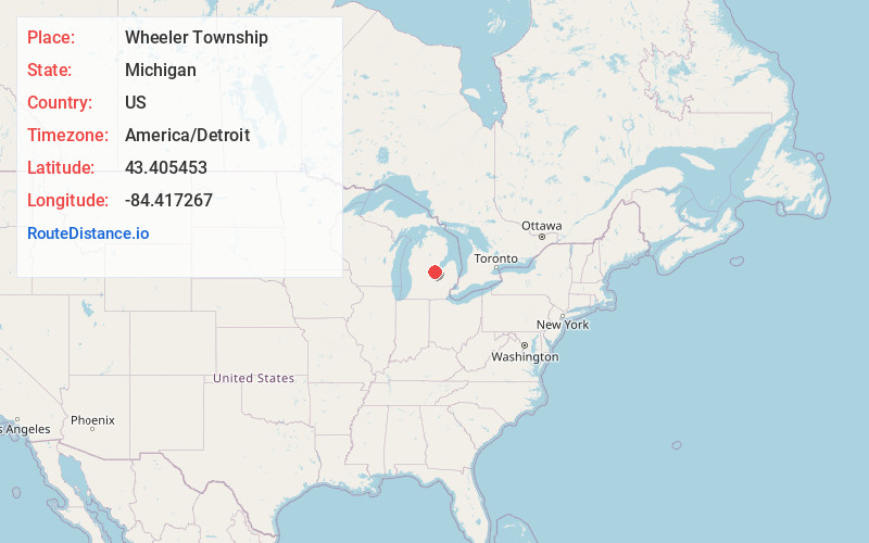
Full AddressWheeler Township, MI
-
Coordinates43.4054531, -84.4172666
-
LocationWheeler Township , Michigan , US
-
TimezoneAmerica/Detroit
-
Current Local Time4:41:03 AM America/DetroitThursday, June 5, 2025
-
Page Views0
About Wheeler Township
Wheeler Township is a civil township of Gratiot County in the U.S. state of Michigan. As of the 2020 census, the township population was 1,374. Inside the township is the Village of Breckenridge.
Nearby Places
Found 10 places within 50 miles

Breckenridge
2.9 mi
4.7 km
Breckenridge, MI 48615
Get directions

Langport
3.1 mi
5.0 km
Langport, Lafayette Township, MI 48637
Get directions
North Wheeler
4.2 mi
6.8 km
North Wheeler, Wheeler Township, MI 48662
Get directions
Merrill
4.4 mi
7.1 km
Merrill, MI 48637
Get directions
Rathbone
4.8 mi
7.7 km
Rathbone, Lafayette Township, MI 48615
Get directions
Ryan
5.3 mi
8.5 km
Ryan, Jonesfield Township, MI 48637
Get directions
Galloway
5.6 mi
9.0 km
Galloway, Lakefield Township, MI 48637
Get directions
Redstone
5.9 mi
9.5 km
Redstone, Porter Township, MI 48615
Get directions
Lakefield
6.0 mi
9.7 km
Lakefield, MI 48637
Get directions
Teeterville
6.2 mi
10.0 km
Teeterville, Porter Township, MI 48662
Get directions
Location Links
Local Weather
Weather Information
Coming soon!
Location Map
Static map view of Wheeler Township, Michigan
Browse Places by Distance
Places within specific distances from Wheeler Township
Short Distances
Long Distances
Click any distance to see all places within that range from Wheeler Township. Distances shown in miles (1 mile ≈ 1.61 kilometers).