Distance to Galloway, Michigan

Calculating Your Route
Just a moment while we process your request...
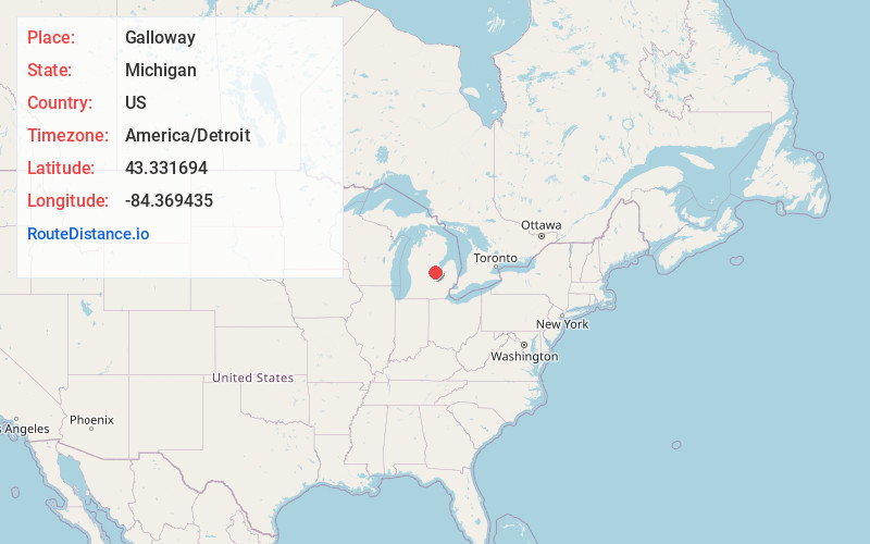
Location Information
-
Full AddressGalloway, Lakefield Township, MI 48637
-
Coordinates43.331694, -84.3694346
-
LocationLakefield Township , Michigan , US
-
TimezoneAmerica/Detroit
-
Current Local Time3:29:55 PM America/DetroitMonday, June 2, 2025
-
Page Views0
About Galloway
Galloway is an unincorporated community in the U.S. state of Michigan. It is located at 43°19′54″N 84°22′10″W on the boundary between Lakefield Township in Saginaw County and Lafayette Township in Gratiot County.
The community is at the junction of Nelson Road and S. Meridian Rd./NE Gratiot County Line Rd.
Nearby Places
Found 10 places within 50 miles

Merrill
5.8 mi
9.3 km
Merrill, MI 48637
Get directions

Breckenridge
7.5 mi
12.1 km
Breckenridge, MI 48615
Get directions

Hemlock
9.0 mi
14.5 km
Hemlock, MI 48626
Get directions

Ashley
11.3 mi
18.2 km
Ashley, MI 48806
Get directions

St Charles
11.6 mi
18.7 km
St Charles, MI 48655
Get directions

Ithaca
12.3 mi
19.8 km
Ithaca, MI 48847
Get directions

St. Louis
13.0 mi
20.9 km
St. Louis, MI
Get directions

Alma
15.0 mi
24.1 km
Alma, MI 48801
Get directions

Shields
16.1 mi
25.9 km
Shields, MI 48609
Get directions

Chesaning
16.3 mi
26.2 km
Chesaning, MI 48616
Get directions
Location Links
Local Weather
Weather Information
Coming soon!
Location Map
Static map view of Galloway, Michigan
Browse Places by Distance
Places within specific distances from Galloway
Short Distances
Long Distances
Click any distance to see all places within that range from Galloway. Distances shown in miles (1 mile ≈ 1.61 kilometers).