Distance to Hemlock, Michigan

Calculating Your Route
Just a moment while we process your request...
Location Information
-
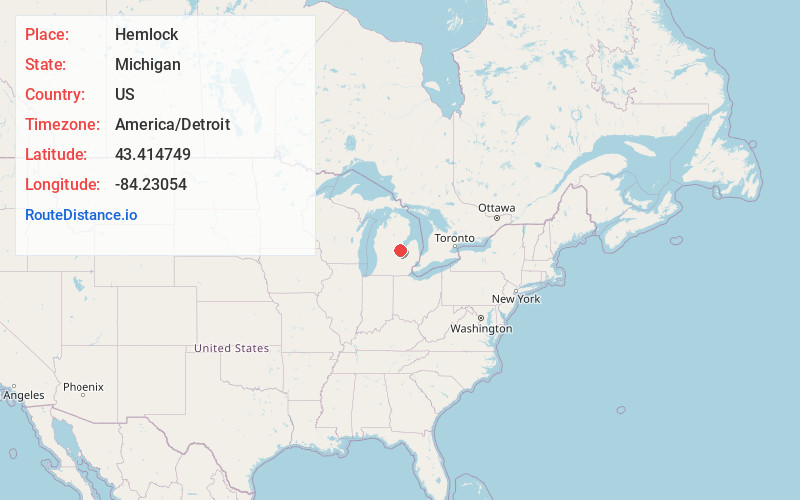
Full AddressHemlock, MI 48626
-
Coordinates43.4147488, -84.2305398
-
LocationHemlock , Michigan , US
-
TimezoneAmerica/Detroit
-
Current Local Time1:23:26 AM America/DetroitFriday, June 20, 2025
-
Page Views0
About Hemlock
Hemlock is an unincorporated community in Richland Township, Saginaw County in the U.S. state of Michigan. It is also a census-designated place for statistical purposes, but without any legal status as an incorporated municipality. The population of the CDP was 1,585 at the 2000 census.


Nearby Places
Found 10 places within 50 miles

Shields
8.0 mi
12.9 km
Shields, MI 48609
Get directions

St Charles
9.1 mi
14.6 km
St Charles, MI 48655
Get directions

Freeland
9.3 mi
15.0 km
Freeland, MI 48623
Get directions

Breckenridge
12.3 mi
19.8 km
Breckenridge, MI 48615
Get directions

Midland
13.9 mi
22.4 km
Midland, MI
Get directions

Saginaw
14.2 mi
22.9 km
Saginaw, MI
Get directions

Auburn
15.3 mi
24.6 km
Auburn, MI 48611
Get directions

Zilwaukee
16.1 mi
25.9 km
Zilwaukee, MI
Get directions

Buena Vista
16.8 mi
27.0 km
Buena Vista, MI 48601
Get directions

Chesaning
16.9 mi
27.2 km
Chesaning, MI 48616
Get directions
Location Links
Local Weather
Weather Information
Coming soon!
Location Map
Static map view of Hemlock, Michigan
Browse Places by Distance
Places within specific distances from Hemlock
Short Distances
Long Distances
Click any distance to see all places within that range from Hemlock. Distances shown in miles (1 mile ≈ 1.61 kilometers).