Distance to St. Louis, Michigan

Calculating Your Route
Just a moment while we process your request...
Location Information
-
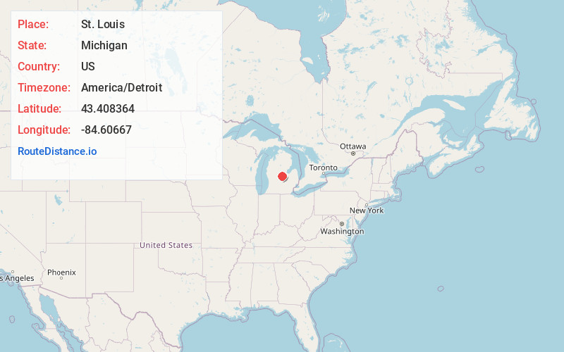
Full AddressSt. Louis, MI
-
Coordinates43.4083637, -84.6066704
-
LocationSt. Louis , Michigan , US
-
TimezoneAmerica/Detroit
-
Current Local Time7:03:56 PM America/DetroitFriday, June 20, 2025
-
Page Views0
About St. Louis
St. Louis is a city in Gratiot County in the U.S. state of Michigan. As of the 2010 census the population was 7,482.


Nearby Places
Found 10 places within 50 miles

Alma
3.4 mi
5.5 km
Alma, MI 48801
Get directions

Mt Pleasant
15.4 mi
24.8 km
Mt Pleasant, MI 48858
Get directions

Midland
23.0 mi
37.0 km
Midland, MI
Get directions

Freeland
25.6 mi
41.2 km
Freeland, MI 48623
Get directions

Shields
26.9 mi
43.3 km
Shields, MI 48609
Get directions

St Johns
28.2 mi
45.4 km
St Johns, MI 48879
Get directions

Saginaw
33.1 mi
53.3 km
Saginaw, MI
Get directions

Owosso
35.7 mi
57.5 km
Owosso, MI 48867
Get directions

Greenville
36.2 mi
58.3 km
Greenville, MI 48838
Get directions

Ionia
37.3 mi
60.0 km
Ionia, MI 48846
Get directions
Location Links
Local Weather
Weather Information
Coming soon!
Location Map
Static map view of St. Louis, Michigan
Browse Places by Distance
Places within specific distances from St. Louis
Short Distances
Long Distances
Click any distance to see all places within that range from St. Louis. Distances shown in miles (1 mile ≈ 1.61 kilometers).