Distance to White Bluffs, Washington

Calculating Your Route
Just a moment while we process your request...
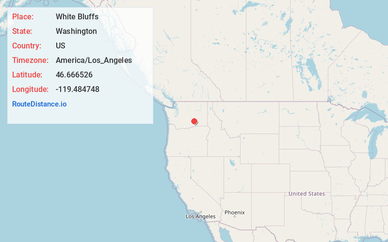
Location Information
-
Full AddressWhite Bluffs, WA 98944
-
Coordinates46.6665256, -119.4847477
-
LocationWhite Bluffs , Washington , US
-
TimezoneAmerica/Los_Angeles
-
Current Local Time12:27:48 AM America/Los_AngelesTuesday, June 17, 2025
-
Page Views0
About White Bluffs
White Bluffs was an agricultural town in Benton County, Washington, United States. It was depopulated in 1943 along with the town of Hanford to make room for the nuclear production facility known as the Hanford Site.
Nearby Places
Found 10 places within 50 miles

Ginger
1.4 mi
2.3 km
Ginger, WA 98944
Get directions
Wahluke
4.0 mi
6.4 km
Wahluke, WA 99349
Get directions

Basin City
16.6 mi
26.7 km
Basin City, WA 99343
Get directions

Royal City
17.6 mi
28.3 km
Royal City, WA 99357
Get directions

Othello
18.3 mi
29.5 km
Othello, WA 99344
Get directions

Mattawa
20.4 mi
32.8 km
Mattawa, WA 99349
Get directions

Desert Aire
21.2 mi
34.1 km
Desert Aire, WA 99349
Get directions

Mesa
23.5 mi
37.8 km
Mesa, WA 99343
Get directions

Beverly
24.0 mi
38.6 km
Beverly, WA 99321
Get directions

West Richland
25.7 mi
41.4 km
West Richland, WA
Get directions
Location Links
Local Weather
Weather Information
Coming soon!
Location Map
Static map view of White Bluffs, Washington
Browse Places by Distance
Places within specific distances from White Bluffs
Short Distances
Long Distances
Click any distance to see all places within that range from White Bluffs. Distances shown in miles (1 mile ≈ 1.61 kilometers).