Distance to White City, Kansas

Calculating Your Route
Just a moment while we process your request...
Location Information
-
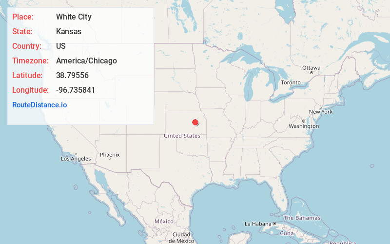
Full AddressWhite City, KS
-
Coordinates38.7955599, -96.7358413
-
LocationWhite City , Kansas , US
-
TimezoneAmerica/Chicago
-
Current Local Time7:16:15 AM America/ChicagoThursday, June 5, 2025
-
Page Views0
About White City
White City is a city in Morris County, Kansas, United States. As of the 2020 census, the population of the city was 447.


Nearby Places
Found 10 places within 50 miles

Herington
14.1 mi
22.7 km
Herington, KS 67449
Get directions

Council Grove
16.1 mi
25.9 km
Council Grove, KS 66846
Get directions

Junction City
16.9 mi
27.2 km
Junction City, KS
Get directions

Chapman
19.7 mi
31.7 km
Chapman, KS 67431
Get directions

Enterprise
21.8 mi
35.1 km
Enterprise, KS 67441
Get directions

Ogden
21.9 mi
35.2 km
Ogden, KS
Get directions

Abilene
27.1 mi
43.6 km
Abilene, KS 67410
Get directions

Manhattan
27.9 mi
44.9 km
Manhattan, KS
Get directions

Alma
28.5 mi
45.9 km
Alma, KS 66401
Get directions

Cottonwood Falls
31.1 mi
50.1 km
Cottonwood Falls, KS
Get directions
Location Links
Local Weather
Weather Information
Coming soon!
Location Map
Static map view of White City, Kansas
Browse Places by Distance
Places within specific distances from White City
Short Distances
Long Distances
Click any distance to see all places within that range from White City. Distances shown in miles (1 mile ≈ 1.61 kilometers).