Distance to White Oak, Missouri

Calculating Your Route
Just a moment while we process your request...
Location Information
-
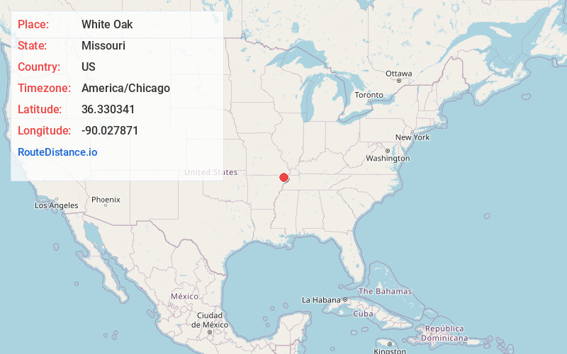
Full AddressWhite Oak, MO
-
Coordinates36.3303411, -90.027871
-
LocationWhite Oak , Missouri , US
-
TimezoneAmerica/Chicago
-
Current Local Time10:10:23 AM America/ChicagoSunday, May 25, 2025
-
Page Views0
About White Oak
White Oak is an unincorporated community in Dunklin County, Missouri, United States. It is located on Route 25, approximately five miles north of Kennett.
A post office called White Oak was established in 1891, and the name was changed to Whiteoak in 1895.
Nearby Places
Found 10 places within 50 miles

Nimmons
4.1 mi
6.6 km
Nimmons, AR 72461
Get directions

Holcomb
4.8 mi
7.7 km
Holcomb, MO 63852
Get directions

Kennett
6.7 mi
10.8 km
Kennett, MO 63857
Get directions

Bragg City
7.8 mi
12.6 km
Bragg City, MO 63827
Get directions
Clarkton
9.0 mi
14.5 km
Clarkton, MO 63837
Get directions

Piggott
9.7 mi
15.6 km
Piggott, AR 72454
Get directions

Gideon
10.4 mi
16.7 km
Gideon, MO 63848
Get directions
St Francis
10.6 mi
17.1 km
St Francis, AR 72454
Get directions
Greenway
10.8 mi
17.4 km
Greenway, AR 72430
Get directions
Homestown
11.2 mi
18.0 km
Homestown, MO 63879
Get directions
Location Links
Local Weather
Weather Information
Coming soon!
Location Map
Static map view of White Oak, Missouri
Browse Places by Distance
Places within specific distances from White Oak
Short Distances
Long Distances
Click any distance to see all places within that range from White Oak. Distances shown in miles (1 mile ≈ 1.61 kilometers).