Distance to White Rock, South Dakota

Calculating Your Route
Just a moment while we process your request...
Location Information
-
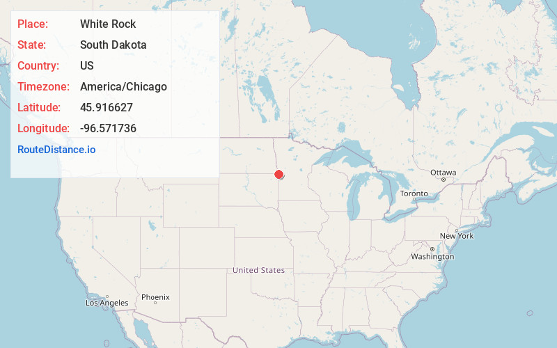
Full AddressWhite Rock, SD 57260
-
Coordinates45.9166266, -96.5717363
-
LocationWhite Rock , South Dakota , US
-
TimezoneAmerica/Chicago
-
Current Local Time11:29:32 PM America/ChicagoSaturday, June 21, 2025
-
Page Views0
About White Rock
White Rock is a town in Roberts County, South Dakota, United States, along the Bois de Sioux River. The population was 6 at the 2020 census. White Rock is the most northeastern community in South Dakota, being along the Minnesota border and one mile south of North Dakota.


Nearby Places
Found 10 places within 50 miles

Rosholt
8.4 mi
13.5 km
Rosholt, SD 57260
Get directions

Wheaton
8.5 mi
13.7 km
Wheaton, MN 56296
Get directions
Fairmount
9.7 mi
15.6 km
Fairmount, ND 58030
Get directions

Tintah
13.5 mi
21.7 km
Tintah, MN 56565
Get directions

Campbell
14.9 mi
24.0 km
Campbell, MN 56522
Get directions
Nashua
15.2 mi
24.5 km
Nashua, MN 56565
Get directions
Dumont
15.6 mi
25.1 km
Dumont, MN 56236
Get directions

New Effington
17.3 mi
27.8 km
New Effington, SD 57255
Get directions

Norcross
18.3 mi
29.5 km
Norcross, MN 56274
Get directions
Doran
19.0 mi
30.6 km
Doran, MN 56522
Get directions
Location Links
Local Weather
Weather Information
Coming soon!
Location Map
Static map view of White Rock, South Dakota
Browse Places by Distance
Places within specific distances from White Rock
Short Distances
Long Distances
Click any distance to see all places within that range from White Rock. Distances shown in miles (1 mile ≈ 1.61 kilometers).