Distance to White Rock Curve Village, Utah

Calculating Your Route
Just a moment while we process your request...
Location Information
-
Full AddressWhite Rock Curve Village, UT 84534
-
Coordinates37.2113873, -109.292892
-
LocationWhite Rock Curve Village , Utah , US
-
TimezoneAmerica/Denver
-
Current Local Time9:05:25 PM America/DenverThursday, June 19, 2025
-
Page Views0
Nearby Places
Found 10 places within 50 miles

Red Lake Village
2.0 mi
3.2 km
Red Lake Village, UT 84534
Get directions

Montezuma Creek
3.3 mi
5.3 km
Montezuma Creek, UT 84534
Get directions
White Mesa Village
5.4 mi
8.7 km
White Mesa Village, UT 84534
Get directions

Aneth
5.8 mi
9.3 km
Aneth, UT 84534
Get directions

Bluff
15.1 mi
24.3 km
Bluff, UT
Get directions
Tselakai Dezza
17.3 mi
27.8 km
Tselakai Dezza, UT 84512
Get directions

Red Mesa
17.8 mi
28.6 km
Red Mesa, AZ 86514
Get directions
White Mesa
20.0 mi
32.2 km
White Mesa, UT 84511
Get directions

Teec Nos Pos
23.1 mi
37.2 km
Teec Nos Pos, AZ 86514
Get directions
Mariano
23.2 mi
37.3 km
Mariano, CO 81321
Get directions
Location Links
Local Weather
Weather Information
Coming soon!
Location Map
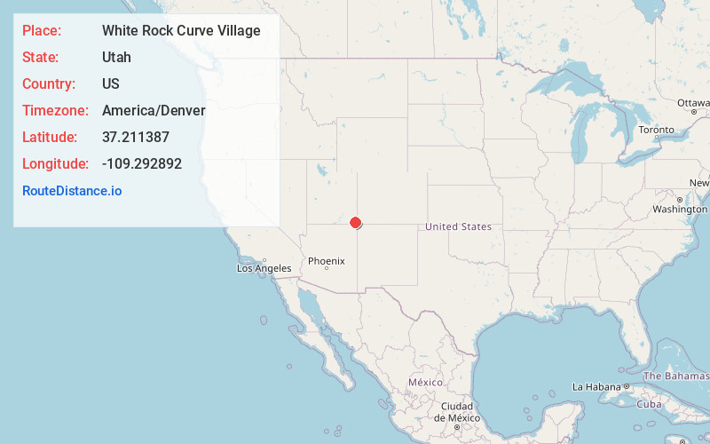
Static map view of White Rock Curve Village, Utah
Browse Places by Distance
Places within specific distances from White Rock Curve Village
Short Distances
Long Distances
Click any distance to see all places within that range from White Rock Curve Village. Distances shown in miles (1 mile ≈ 1.61 kilometers).