Distance to Whitewater Township, Missouri

Calculating Your Route
Just a moment while we process your request...
Location Information
-
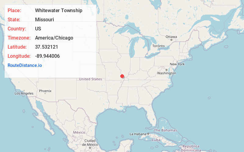
Full AddressWhitewater Township, MO
-
Coordinates37.5321209, -89.9440061
-
LocationWhitewater Township , Missouri , US
-
TimezoneAmerica/Chicago
-
Current Local Time12:38:32 PM America/ChicagoSunday, June 8, 2025
-
Page Views0
About Whitewater Township
Whitewater Township is one of eight townships in Bollinger County, Missouri, USA. As of the 2000 U.S. Census, its population was 911. As of the 2010 U.S. Census, the population had increased to 1,029. Whitewater Township covers an area of 51.76 square miles.
Nearby Places
Found 10 places within 50 miles

Sedgewickville
2.3 mi
3.7 km
Sedgewickville, MO 63743
Get directions
Alliance
3.6 mi
5.8 km
Alliance, MO 63775
Get directions
Lixville
3.6 mi
5.8 km
Lixville, Whitewater Township, MO 63775
Get directions
North Patton
3.9 mi
6.3 km
North Patton, Union Township, MO 63775
Get directions
Patton
4.4 mi
7.1 km
Patton, MO 63662
Get directions
Conrads Mill
4.9 mi
7.9 km
Conrads Mill, Apple Creek Township, MO 63743
Get directions
Hilderbrand
5.8 mi
9.3 km
Hilderbrand, Apple Creek Township, MO 63747
Get directions
Scopus Township
5.9 mi
9.5 km
Scopus Township, MO
Get directions
Dissen
6.6 mi
10.6 km
Dissen, Apple Creek Township, MO 63747
Get directions
Millheim
6.7 mi
10.8 km
Millheim, Cinque Hommes Township, MO 63775
Get directions
Location Links
Local Weather
Weather Information
Coming soon!
Location Map
Static map view of Whitewater Township, Missouri
Browse Places by Distance
Places within specific distances from Whitewater Township
Short Distances
Long Distances
Click any distance to see all places within that range from Whitewater Township. Distances shown in miles (1 mile ≈ 1.61 kilometers).