Distance to Whitewood, Virginia

Calculating Your Route
Just a moment while we process your request...
Location Information
-
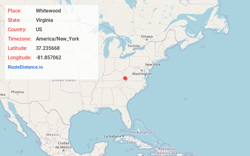
Full AddressWhitewood, VA 24657
-
Coordinates37.2356682, -81.8570624
-
LocationWhitewood , Virginia , US
-
TimezoneAmerica/New_York
-
Current Local Time8:18:36 PM America/New_YorkWednesday, July 2, 2025
-
Page Views0
About Whitewood
Whitewood is an unincorporated community in Buchanan County, Virginia, United States. As of the 2000 census, the Whitewood area had a population of 485. It is located along the Dismal River, which is part of the watershed of the Big Sandy River.
Nearby Places
Found 10 places within 50 miles

Jewell Valley
3.2 mi
5.1 km
Jewell Valley, VA 24622
Get directions
Peapatch
5.0 mi
8.0 km
Peapatch, WV 24879
Get directions
Hale Creek
5.0 mi
8.0 km
Hale Creek, VA 24631
Get directions
Jewell Ridge
5.2 mi
8.4 km
Jewell Ridge, VA 24622
Get directions
Roth
6.4 mi
10.3 km
Roth, VA 24631
Get directions
Patterson
6.8 mi
10.9 km
Patterson, VA 24631
Get directions
Raysal
8.5 mi
13.7 km
Raysal, WV 24879
Get directions
Bradshaw
8.6 mi
13.8 km
Bradshaw, WV 24879
Get directions
Dan
8.8 mi
14.2 km
Dan, Bradshaw, WV 24879
Get directions
Bartley
9.8 mi
15.8 km
Bartley, WV 24879
Get directions
Location Links
Local Weather
Weather Information
Coming soon!
Location Map
Static map view of Whitewood, Virginia
Browse Places by Distance
Places within specific distances from Whitewood
Short Distances
Long Distances
Click any distance to see all places within that range from Whitewood. Distances shown in miles (1 mile ≈ 1.61 kilometers).