Distance to Whitlock Farms, Georgia

Calculating Your Route
Just a moment while we process your request...
Location Information
-
Full AddressWhitlock Farms, GA 30043
-
Coordinates34.0337129, -84.0099071
-
LocationWhitlock Farms , Georgia , US
-
TimezoneAmerica/New_York
-
Current Local Time1:48:33 AM America/New_YorkSunday, June 22, 2025
-
Page Views0
Nearby Places
Found 10 places within 50 miles

Arbor Trace
1.9 mi
3.1 km
Arbor Trace, GA 30024
Get directions

Suwanee
3.7 mi
6.0 km
Suwanee, GA 30024
Get directions
Hog Mountain
4.8 mi
7.7 km
Hog Mountain, GA 30019
Get directions

Sugar Hill
5.2 mi
8.4 km
Sugar Hill, GA
Get directions

Lawrenceville
5.9 mi
9.5 km
Lawrenceville, GA
Get directions

Buford
6.0 mi
9.7 km
Buford, GA
Get directions
Meadow
6.3 mi
10.1 km
Meadow, GA 30097
Get directions

Dacula
7.1 mi
11.4 km
Dacula, GA
Get directions
Shake Rag
7.1 mi
11.4 km
Shake Rag, Johns Creek, GA 30024
Get directions
Alcovy Forest
7.4 mi
11.9 km
Alcovy Forest, GA 30045
Get directions
Location Links
Local Weather
Weather Information
Coming soon!
Location Map
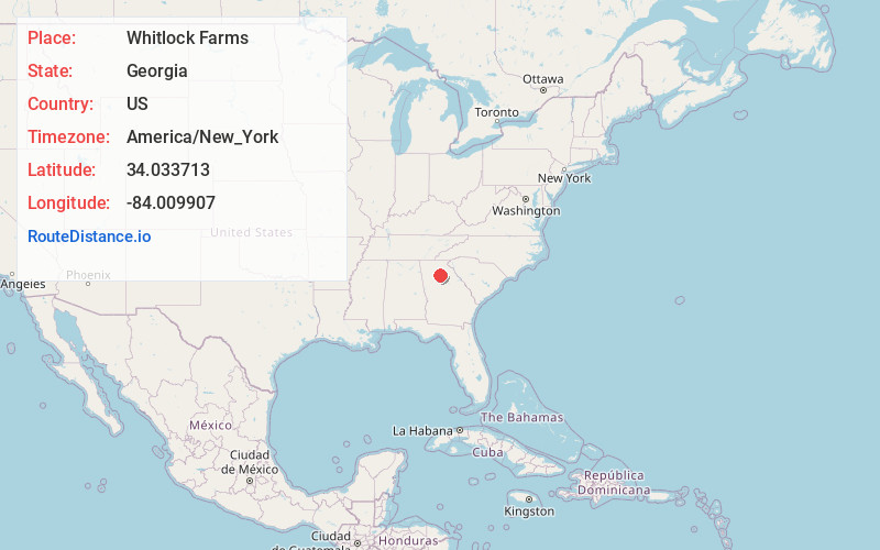
Static map view of Whitlock Farms, Georgia
Browse Places by Distance
Places within specific distances from Whitlock Farms
Short Distances
Long Distances
Click any distance to see all places within that range from Whitlock Farms. Distances shown in miles (1 mile ≈ 1.61 kilometers).