Distance to Wiborg, Kentucky

Calculating Your Route
Just a moment while we process your request...
Location Information
-
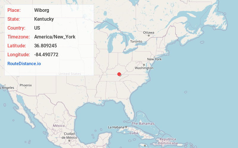
Full AddressWiborg, KY 42653
-
Coordinates36.809245, -84.4907722
-
LocationWiborg , Kentucky , US
-
TimezoneAmerica/New_York
-
Current Local Time11:05:25 AM America/New_YorkThursday, June 19, 2025
-
Page Views0
About Wiborg
Wiborg is an unincorporated community and coal town in McCreary County, Kentucky, United States. Their post office closed in 1988.
Nearby Places
Found 10 places within 50 miles

Beulah Heights
2.9 mi
4.7 km
Beulah Heights, KY 42653
Get directions
Marshes Siding
4.6 mi
7.4 km
Marshes Siding, KY 42653
Get directions

Whitley City
6.0 mi
9.7 km
Whitley City, KY 42653
Get directions

Honeybee
6.9 mi
11.1 km
Honeybee, KY 42634
Get directions
Keno
7.5 mi
12.1 km
Keno, KY 42519
Get directions
Stearns
7.7 mi
12.4 km
Stearns, KY
Get directions
Ritner
7.8 mi
12.6 km
Ritner, KY 42633
Get directions
Alpine
8.2 mi
13.2 km
Alpine, KY 42519
Get directions

Cumberland Falls
8.3 mi
13.4 km
Cumberland Falls, Kentucky 42634
Get directions
Blue John
8.3 mi
13.4 km
Blue John, KY 42519
Get directions
Location Links
Local Weather
Weather Information
Coming soon!
Location Map
Static map view of Wiborg, Kentucky
Browse Places by Distance
Places within specific distances from Wiborg
Short Distances
Long Distances
Click any distance to see all places within that range from Wiborg. Distances shown in miles (1 mile ≈ 1.61 kilometers).