Distance to Wilbur, Oregon

Calculating Your Route
Just a moment while we process your request...
Location Information
-
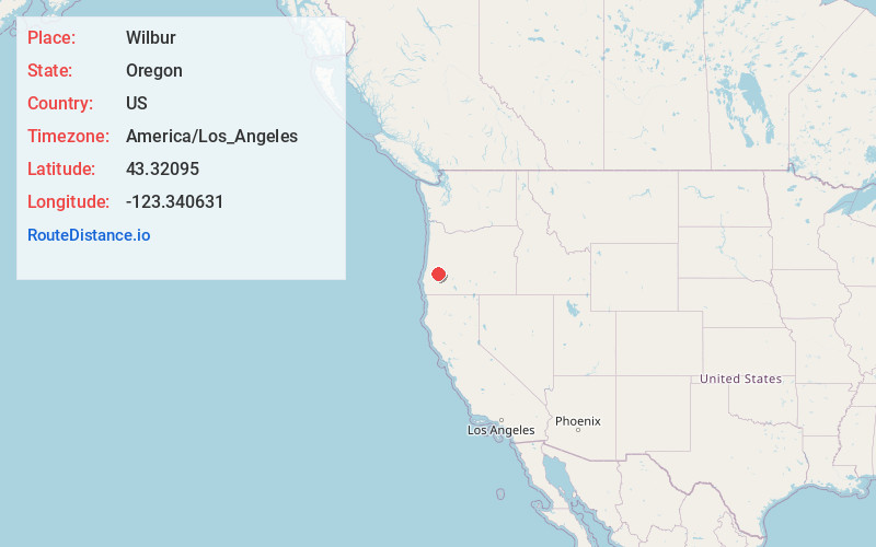
Full AddressWilbur, OR 97470
-
Coordinates43.32095, -123.3406306
-
LocationWilbur , Oregon , US
-
TimezoneAmerica/Los_Angeles
-
Current Local Time3:55:37 PM America/Los_AngelesFriday, June 20, 2025
-
Page Views0
About Wilbur
Wilbur is an unincorporated community in Douglas County, Oregon, United States. Wilbur is located along Interstate 5 and Oregon Route 99 north of Winchester. It was originally named Bunton's Gap, but the town was renamed Wilbur after James H. Wilbur.


Nearby Places
Found 10 places within 50 miles

Roseburg North
2.7 mi
4.3 km
Roseburg North, OR
Get directions

Sutherlin
5.0 mi
8.0 km
Sutherlin, OR
Get directions

Stephens
5.0 mi
8.0 km
Stephens, OR 97462
Get directions
Riversdale
5.6 mi
9.0 km
Riversdale, OR 97471
Get directions

Umpqua
6.6 mi
10.6 km
Umpqua, OR 97486
Get directions

Roseburg
7.2 mi
11.6 km
Roseburg, OR
Get directions

Oakland
7.3 mi
11.7 km
Oakland, OR 97462
Get directions
Calkins
7.7 mi
12.4 km
Calkins, OR 97471
Get directions

Melrose
7.8 mi
12.6 km
Melrose, OR 97471
Get directions
Elgarose
8.5 mi
13.7 km
Elgarose, OR 97471
Get directions
Location Links
Local Weather
Weather Information
Coming soon!
Location Map
Static map view of Wilbur, Oregon
Browse Places by Distance
Places within specific distances from Wilbur
Short Distances
Long Distances
Click any distance to see all places within that range from Wilbur. Distances shown in miles (1 mile ≈ 1.61 kilometers).