Distance to Wilburtha, New Jersey

Calculating Your Route
Just a moment while we process your request...
Location Information
-
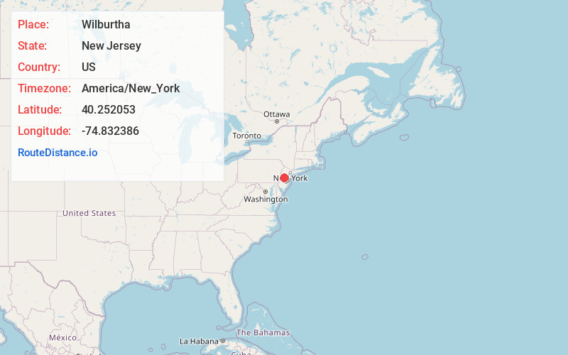
Full AddressWilburtha, Ewing Township, NJ 08628
-
Coordinates40.2520527, -74.8323857
-
NeighborhoodWilburtha
-
LocationEwing Township , New Jersey , US
-
TimezoneAmerica/New_York
-
Current Local Time5:26:01 AM America/New_YorkWednesday, June 18, 2025
-
Page Views0
About Wilburtha
Wilburtha is a section of Ewing Township in Mercer County, in the U.S. state of New Jersey. Located where Wilburtha Road crosses the Delaware and Raritan Canal, it is one of the oldest settlements in Ewing Township and developed due to the construction of the canal in the early 19th century.

Nearby Places
Found 10 places within 50 miles

Scudders Falls
0.6 mi
1.0 km
Scudders Falls, Ewing Township, NJ 08628
Get directions

Yardley
0.8 mi
1.3 km
Yardley, PA 19067
Get directions

Ferry Rd Manor
1.5 mi
2.4 km
Ferry Rd Manor, Ewing Township, NJ 08628
Get directions
Woodside
2.0 mi
3.2 km
Woodside, PA 19067
Get directions
Lower Makefield Township
2.2 mi
3.5 km
Lower Makefield Township, PA
Get directions
Parkway Village
2.4 mi
3.9 km
Parkway Village, Ewing Township, NJ 08618
Get directions
Green Curve Heights
2.7 mi
4.3 km
Green Curve Heights, Ewing Township, NJ 08618
Get directions
Roelofs
2.9 mi
4.7 km
Roelofs, Lower Makefield Township, PA 19067
Get directions
Weber Park
3.2 mi
5.1 km
Weber Park, Ewing Township, NJ 08638
Get directions

Ewing Township
3.2 mi
5.1 km
Ewing Township, NJ
Get directions
Location Links
Local Weather
Weather Information
Coming soon!
Location Map
Static map view of Wilburtha, New Jersey
Browse Places by Distance
Places within specific distances from Wilburtha
Short Distances
Long Distances
Click any distance to see all places within that range from Wilburtha. Distances shown in miles (1 mile ≈ 1.61 kilometers).