Distance to Wilburton, Kansas

Calculating Your Route
Just a moment while we process your request...
Location Information
-
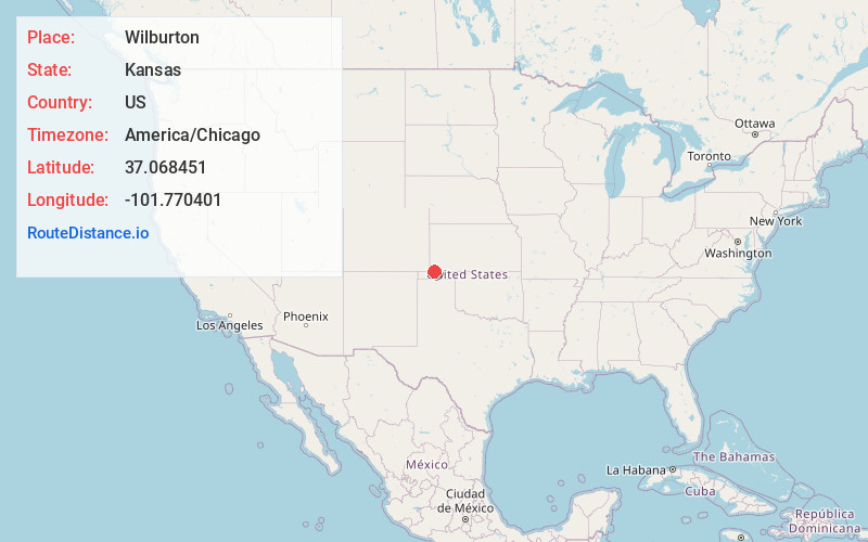
Full AddressWilburton, KS 67950
-
Coordinates37.068451, -101.770401
-
LocationWilburton , Kansas , US
-
TimezoneAmerica/Chicago
-
Current Local Time4:17:59 AM America/ChicagoTuesday, June 10, 2025
-
Page Views0
About Wilburton
Wilburton is an unincorporated community in Morton County, Kansas, United States, located along U.S. Route 56 highway and the Cimarron Valley Railroad, 9 miles northeast of Elkhart.
Nearby Places
Found 10 places within 50 miles

Elkhart
7.8 mi
12.6 km
Elkhart, KS 67950
Get directions

Rolla
8.4 mi
13.5 km
Rolla, KS 67954
Get directions

Richfield
13.7 mi
22.0 km
Richfield, KS 67953
Get directions

Libbey
14.5 mi
23.3 km
Libbey, OK 73939
Get directions
Hovey
15.1 mi
24.3 km
Hovey, OK 73942
Get directions
Hough
17.3 mi
27.8 km
Hough, OK 73942
Get directions
Sturgis
20.5 mi
33.0 km
Sturgis, OK 73947
Get directions
Unity
21.4 mi
34.4 km
Unity, OK 73942
Get directions
Doolin
22.3 mi
35.9 km
Doolin, OK 73939
Get directions

Hugoton
24.3 mi
39.1 km
Hugoton, KS 67951
Get directions
Location Links
Local Weather
Weather Information
Coming soon!
Location Map
Static map view of Wilburton, Kansas
Browse Places by Distance
Places within specific distances from Wilburton
Short Distances
Long Distances
Click any distance to see all places within that range from Wilburton. Distances shown in miles (1 mile ≈ 1.61 kilometers).