Distance to Wilcox Peak, New Mexico

Calculating Your Route
Just a moment while we process your request...
Location Information
-
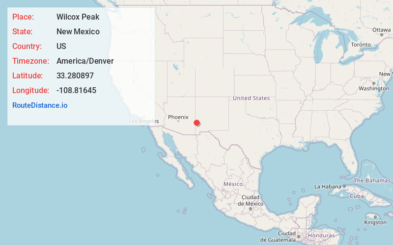
Full AddressWilcox Peak, NM 88039
-
Coordinates33.280897, -108.81645
-
LocationWilcox Peak , New Mexico , US
-
TimezoneAmerica/Denver
-
Current Local Time2:27:32 PM America/DenverSaturday, June 7, 2025
-
Page Views0
Nearby Places
Found 10 places within 50 miles

Pleasanton
3.3 mi
5.3 km
Pleasanton, NM 88039
Get directions

Mogollon
8.1 mi
13.0 km
Mogollon, NM 88039
Get directions
Cooney
9.8 mi
15.8 km
Cooney, NM 88039
Get directions

Harden Cienega
14.9 mi
24.0 km
Harden Cienega, NM 88051
Get directions

Buckhorn
18.0 mi
29.0 km
Buckhorn, NM 88025
Get directions
Lower Frisco
26.4 mi
42.5 km
Lower Frisco, NM 87830
Get directions
Rancho Grande
27.7 mi
44.6 km
Rancho Grande, NM 87830
Get directions
Middle Frisco
28.8 mi
46.3 km
Middle Frisco, NM 87830
Get directions

Reserve
30.1 mi
48.4 km
Reserve, NM 87830
Get directions

Clifton
32.0 mi
51.5 km
Clifton, AZ
Get directions
Location Links
Local Weather
Weather Information
Coming soon!
Location Map
Static map view of Wilcox Peak, New Mexico
Browse Places by Distance
Places within specific distances from Wilcox Peak
Short Distances
Long Distances
Click any distance to see all places within that range from Wilcox Peak. Distances shown in miles (1 mile ≈ 1.61 kilometers).