Distance to Mogollon, New Mexico

Calculating Your Route
Just a moment while we process your request...
Location Information
-
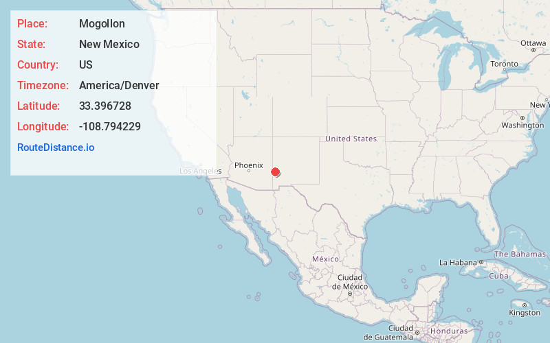
Full AddressMogollon, NM 88039
-
Coordinates33.3967283, -108.7942288
-
LocationMogollon , New Mexico , US
-
TimezoneAmerica/Denver
-
Current Local Time4:14:02 PM America/DenverFriday, June 20, 2025
-
Page Views0
About Mogollon
Mogollon, also called the Mogollon Historic District, is a former mining town located in the Mogollon Mountains in Catron County, New Mexico, United States.


Nearby Places
Found 10 places within 50 miles

Pleasanton
9.7 mi
15.6 km
Pleasanton, NM 88039
Get directions
Rancho Grande
19.9 mi
32.0 km
Rancho Grande, NM 87830
Get directions

Reserve
22.0 mi
35.4 km
Reserve, NM 87830
Get directions

Buckhorn
25.3 mi
40.7 km
Buckhorn, NM 88025
Get directions
Cruzville
29.3 mi
47.2 km
Cruzville, NM 87830
Get directions

Apache Creek
31.8 mi
51.2 km
Apache Creek, NM
Get directions

Alpine
37.1 mi
59.7 km
Alpine, AZ 85920
Get directions

Clifton
37.6 mi
60.5 km
Clifton, AZ
Get directions

Morenci
39.0 mi
62.8 km
Morenci, AZ 85540
Get directions

York
42.4 mi
68.2 km
York, AZ 85534
Get directions
Location Links
Local Weather
Weather Information
Coming soon!
Location Map
Static map view of Mogollon, New Mexico
Browse Places by Distance
Places within specific distances from Mogollon
Short Distances
Long Distances
Click any distance to see all places within that range from Mogollon. Distances shown in miles (1 mile ≈ 1.61 kilometers).