Distance to Alpine, Arizona

Calculating Your Route
Just a moment while we process your request...
Location Information
-
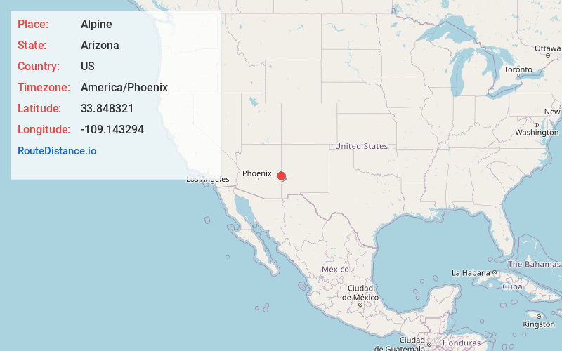
Full AddressAlpine, AZ 85920
-
Coordinates33.8483212, -109.1432936
-
LocationAlpine , Arizona , US
-
TimezoneAmerica/Phoenix
-
Current Local Time10:49:18 PM America/PhoenixTuesday, June 17, 2025
-
Page Views0
About Alpine
Alpine is a census-designated place in Apache County, Arizona, United States, in Bush Valley in the east central part of the state. As of the 2010 census, it had a population of 145. It is located near the eastern border of the state.


Nearby Places
Found 10 places within 50 miles

Nutrioso
8.2 mi
13.2 km
Nutrioso, AZ 85932
Get directions

Round Valley Unified District
19.3 mi
31.1 km
Round Valley Unified District, AZ
Get directions

Eagar
20.0 mi
32.2 km
Eagar, AZ
Get directions

Springerville
21.3 mi
34.3 km
Springerville, AZ
Get directions

Reserve
24.0 mi
38.6 km
Reserve, NM 87830
Get directions

Cruzville
27.6 mi
44.4 km
Cruzville, NM 87830
Get directions

Vernon
42.2 mi
67.9 km
Vernon, AZ 85940
Get directions
Pleasanton
42.8 mi
68.9 km
Pleasanton, NM 88039
Get directions

McNary
43.8 mi
70.5 km
McNary, AZ
Get directions

East Fork
45.2 mi
72.7 km
East Fork, AZ 85941
Get directions
Location Links
Local Weather
Weather Information
Coming soon!
Location Map
Static map view of Alpine, Arizona
Browse Places by Distance
Places within specific distances from Alpine
Short Distances
Long Distances
Click any distance to see all places within that range from Alpine. Distances shown in miles (1 mile ≈ 1.61 kilometers).