Distance to Round Valley Unified District, Arizona

Calculating Your Route
Just a moment while we process your request...
Location Information
-
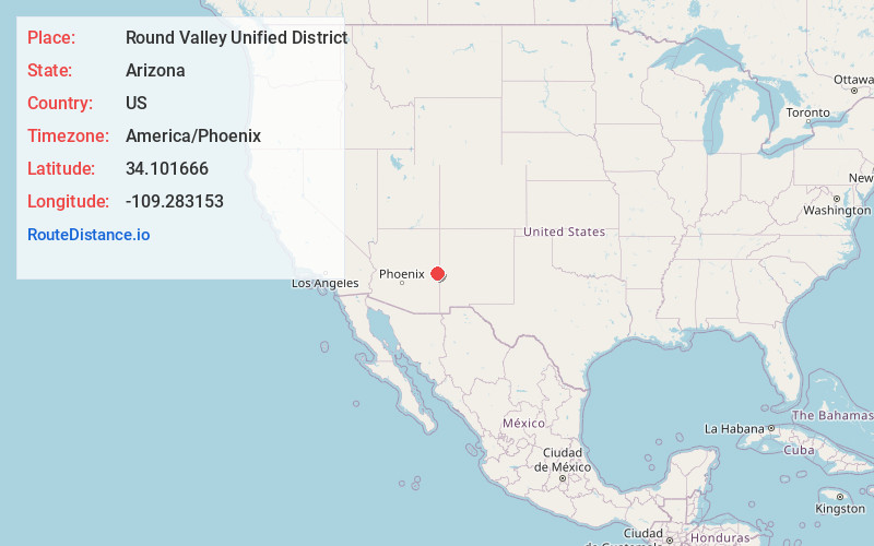
Full AddressRound Valley Unified District, AZ
-
Coordinates34.1016658, -109.2831531
-
LocationArizona , US
-
TimezoneAmerica/Phoenix
-
Current Local Time3:45:17 AM America/PhoenixWednesday, June 18, 2025
-
Page Views0
About Round Valley Unified District
The Round Valley Unified School District is an Arizona school district comprising five schools in Apache County, Arizona. The towns that house the schools of RVUSD include Eagar and Springerville, Arizona. As of 2006, RVUSD has 1610 students. The mascot for the entire school system is the Elks.

Nearby Places
Found 9 places within 50 miles

Eagar
0.8 mi
1.3 km
Eagar, AZ
Get directions

Springerville
2.2 mi
3.5 km
Springerville, AZ
Get directions

St Johns
28.3 mi
45.5 km
St Johns, AZ 85936
Get directions

McNary
32.9 mi
52.9 km
McNary, AZ
Get directions

North Fork White River
38.3 mi
61.6 km
North Fork White River, Arizona 85941
Get directions

Pinetop-Lakeside
38.8 mi
62.4 km
Pinetop-Lakeside, AZ
Get directions

Whiteriver
43.1 mi
69.4 km
Whiteriver, AZ 85941
Get directions

Show Low
44.0 mi
70.8 km
Show Low, AZ
Get directions

Canyon Day
47.9 mi
77.1 km
Canyon Day, AZ 85941
Get directions
Location Links
Local Weather
Weather Information
Coming soon!
Location Map
Static map view of Round Valley Unified District, Arizona
Browse Places by Distance
Places within specific distances from Round Valley Unified District
Short Distances
Long Distances
Click any distance to see all places within that range from Round Valley Unified District. Distances shown in miles (1 mile ≈ 1.61 kilometers).