Distance to McNary, Arizona

Calculating Your Route
Just a moment while we process your request...
Location Information
-
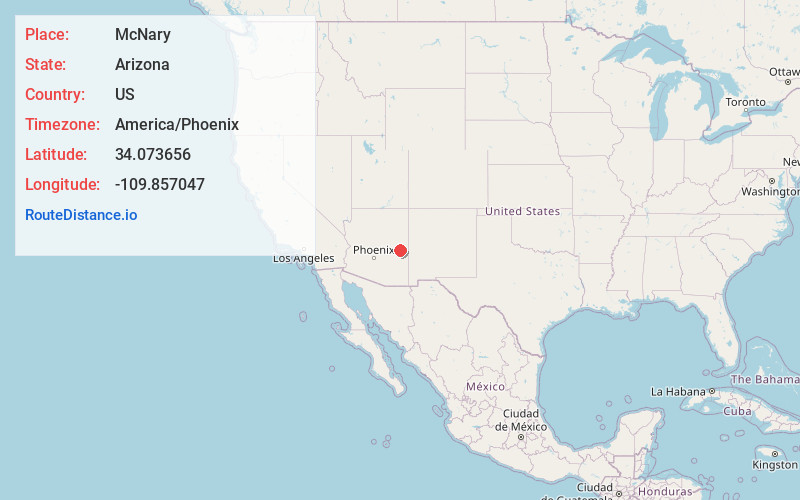
Full AddressMcNary, AZ
-
Coordinates34.0736564, -109.8570472
-
LocationMcNary , Arizona , US
-
TimezoneAmerica/Phoenix
-
Current Local Time2:21:05 AM America/PhoenixWednesday, June 18, 2025
-
Page Views0
About McNary
McNary is a census-designated place in Apache and Navajo counties in the U.S. state of Arizona, on the Fort Apache Indian Reservation. The population was 528 at the 2010 census.

Nearby Places
Found 10 places within 50 miles

Pinetop-Lakeside
7.6 mi
12.2 km
Pinetop-Lakeside, AZ
Get directions

North Fork White River
9.7 mi
15.6 km
North Fork White River, Arizona 85941
Get directions

Show Low
15.9 mi
25.6 km
Show Low, AZ
Get directions

Whiteriver
17.5 mi
28.2 km
Whiteriver, AZ 85941
Get directions

Canyon Day
22.2 mi
35.7 km
Canyon Day, AZ 85941
Get directions

Linden
22.5 mi
36.2 km
Linden, AZ 85901
Get directions

Taylor
30.2 mi
48.6 km
Taylor, AZ
Get directions

Eagar
32.5 mi
52.3 km
Eagar, AZ
Get directions

Snowflake
32.9 mi
52.9 km
Snowflake, AZ 85937
Get directions

Springerville
32.9 mi
52.9 km
Springerville, AZ
Get directions
Location Links
Local Weather
Weather Information
Coming soon!
Location Map
Static map view of McNary, Arizona
Browse Places by Distance
Places within specific distances from McNary
Short Distances
Long Distances
Click any distance to see all places within that range from McNary. Distances shown in miles (1 mile ≈ 1.61 kilometers).