Distance to Linden, Arizona

Calculating Your Route
Just a moment while we process your request...
Location Information
-
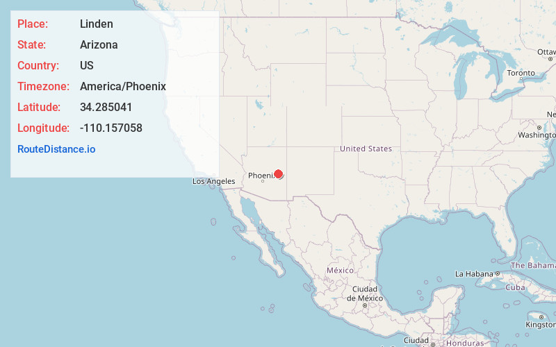
Full AddressLinden, AZ 85901
-
Coordinates34.2850405, -110.1570584
-
LocationLinden , Arizona , US
-
TimezoneAmerica/Phoenix
-
Current Local Time3:37:25 PM America/PhoenixSunday, May 25, 2025
-
Page Views0
About Linden
Linden is an unincorporated community located in Navajo County, Arizona, United States, just west of the city of Show Low. It is situated atop the Mogollon Rim at an elevation of over 6,000 feet.


Nearby Places
Found 8 places within 50 miles

Show Low
7.6 mi
12.2 km
Show Low, AZ
Get directions

Taylor
13.0 mi
20.9 km
Taylor, AZ
Get directions

Pinetop-Lakeside
14.9 mi
24.0 km
Pinetop-Lakeside, AZ
Get directions

Snowflake
16.4 mi
26.4 km
Snowflake, AZ 85937
Get directions

Heber-Overgaard
24.8 mi
39.9 km
Heber-Overgaard, AZ
Get directions

Whiteriver
32.9 mi
52.9 km
Whiteriver, AZ 85941
Get directions

Holbrook
42.6 mi
68.6 km
Holbrook, AZ 86025
Get directions

St Johns
47.9 mi
77.1 km
St Johns, AZ 85936
Get directions
Location Links
Local Weather
Weather Information
Coming soon!
Location Map
Static map view of Linden, Arizona
Browse Places by Distance
Places within specific distances from Linden
Short Distances
Long Distances
Click any distance to see all places within that range from Linden. Distances shown in miles (1 mile ≈ 1.61 kilometers).