Distance to Nutrioso, Arizona

Calculating Your Route
Just a moment while we process your request...
Location Information
-
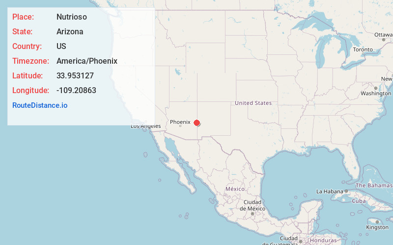
Full AddressNutrioso, AZ 85932
-
Coordinates33.9531268, -109.2086302
-
LocationNutrioso , Arizona , US
-
TimezoneAmerica/Phoenix
-
Current Local Time12:27:44 AM America/PhoenixWednesday, June 18, 2025
-
Page Views0
About Nutrioso
Nutrioso is an unincorporated community and census-designated place in Apache County, Arizona, United States. Nutrioso is located on U.S. Route 180 and U.S. Route 191, 12 miles south-southeast of Eagar. Nutrioso has a post office with ZIP code 85932. As of the 2010 census, the population was 26.


Nearby Places
Found 10 places within 50 miles

Round Valley Unified District
11.1 mi
17.9 km
Round Valley Unified District, AZ
Get directions

Eagar
11.9 mi
19.2 km
Eagar, AZ
Get directions

Springerville
13.2 mi
21.2 km
Springerville, AZ
Get directions

McNary
38.1 mi
61.3 km
McNary, AZ
Get directions

St Johns
39.2 mi
63.1 km
St Johns, AZ 85936
Get directions

North Fork White River
41.1 mi
66.1 km
North Fork White River, Arizona 85941
Get directions

East Fork
42.6 mi
68.6 km
East Fork, AZ 85941
Get directions

Whiteriver
44.1 mi
71.0 km
Whiteriver, AZ 85941
Get directions

Pinetop-Lakeside
45.0 mi
72.4 km
Pinetop-Lakeside, AZ
Get directions

Canyon Day
48.3 mi
77.7 km
Canyon Day, AZ 85941
Get directions
Location Links
Local Weather
Weather Information
Coming soon!
Location Map
Static map view of Nutrioso, Arizona
Browse Places by Distance
Places within specific distances from Nutrioso
Short Distances
Long Distances
Click any distance to see all places within that range from Nutrioso. Distances shown in miles (1 mile ≈ 1.61 kilometers).