Distance to East Fork, Arizona

Calculating Your Route
Just a moment while we process your request...
Location Information
-
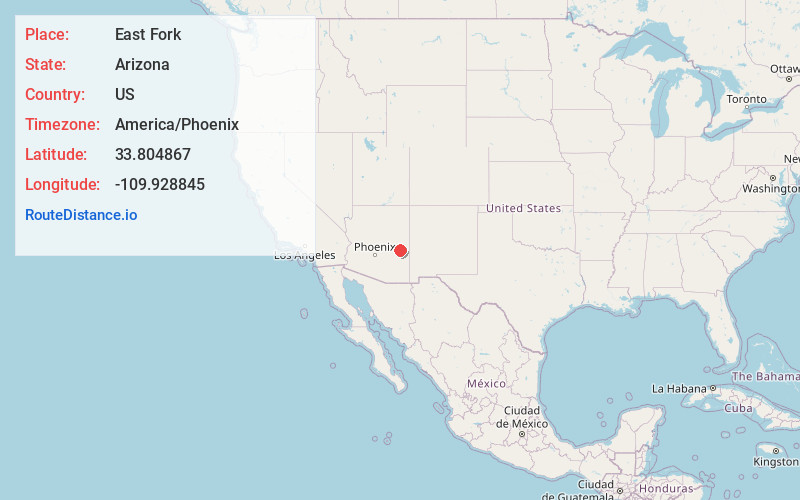
Full AddressEast Fork, AZ 85941
-
Coordinates33.8048666, -109.9288452
-
LocationEast Fork , Arizona , US
-
TimezoneAmerica/Phoenix
-
Current Local Time12:33:38 PM America/PhoenixWednesday, June 18, 2025
-
Page Views0
About East Fork
East Fork is a census-designated place in Navajo County, Arizona, United States, on the Fort Apache Indian Reservation. The population was 699 at the 2010 census.


Nearby Places
Found 10 places within 50 miles

Whiteriver
3.0 mi
4.8 km
Whiteriver, AZ 85941
Get directions

Canyon Day
5.8 mi
9.3 km
Canyon Day, AZ 85941
Get directions

North Fork White River
9.7 mi
15.6 km
North Fork White River, Arizona 85941
Get directions

McNary
19.0 mi
30.6 km
McNary, AZ
Get directions

Pinetop-Lakeside
23.4 mi
37.7 km
Pinetop-Lakeside, AZ
Get directions

Show Low
31.6 mi
50.9 km
Show Low, AZ
Get directions

Linden
35.7 mi
57.5 km
Linden, AZ 85901
Get directions

Cibecue
36.0 mi
57.9 km
Cibecue, AZ 85911
Get directions

Pinedale
39.3 mi
63.2 km
Pinedale, AZ
Get directions

Eagar
42.2 mi
67.9 km
Eagar, AZ
Get directions
Location Links
Local Weather
Weather Information
Coming soon!
Location Map
Static map view of East Fork, Arizona
Browse Places by Distance
Places within specific distances from East Fork
Short Distances
Long Distances
Click any distance to see all places within that range from East Fork. Distances shown in miles (1 mile ≈ 1.61 kilometers).