Distance to Apache Creek, New Mexico

Calculating Your Route
Just a moment while we process your request...
Location Information
-
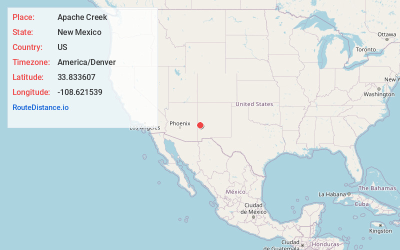
Full AddressApache Creek, NM
-
Coordinates33.8336066, -108.6215391
-
LocationApache Creek , New Mexico , US
-
TimezoneAmerica/Denver
-
Current Local Time6:52:09 AM America/DenverThursday, June 19, 2025
-
Page Views0
About Apache Creek
Apache Creek is a census-designated place in Catron County, New Mexico, United States. As of the 2010 census it had a population of 67. Located 3 miles northeast of Cruzville, it is situated at the confluence of Apache Creek and the Tularosa River.


Nearby Places
Found 10 places within 50 miles

Cruzville
3.1 mi
5.0 km
Cruzville, NM 87830
Get directions

Reserve
11.4 mi
18.3 km
Reserve, NM 87830
Get directions
Rancho Grande
17.2 mi
27.7 km
Rancho Grande, NM 87830
Get directions

Alpine
30.0 mi
48.3 km
Alpine, AZ 85920
Get directions

Nutrioso
34.7 mi
55.8 km
Nutrioso, AZ 85932
Get directions

Quemado
35.9 mi
57.8 km
Quemado, NM 87829
Get directions
Pleasanton
41.4 mi
66.6 km
Pleasanton, NM 88039
Get directions

Round Valley Unified District
42.2 mi
67.9 km
Round Valley Unified District, AZ
Get directions

Pie Town
42.5 mi
68.4 km
Pie Town, NM 87827
Get directions

Eagar
42.9 mi
69.0 km
Eagar, AZ
Get directions
Location Links
Local Weather
Weather Information
Coming soon!
Location Map
Static map view of Apache Creek, New Mexico
Browse Places by Distance
Places within specific distances from Apache Creek
Short Distances
Long Distances
Click any distance to see all places within that range from Apache Creek. Distances shown in miles (1 mile ≈ 1.61 kilometers).