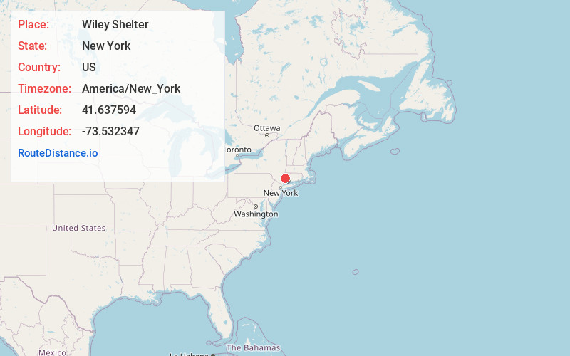
Distance to Wiley Shelter, New York

Calculating Your Route
Just a moment while we process your request...
Location Information
-
Full AddressWiley Shelter, Dover, NY 12594
-
Coordinates41.6375939, -73.5323474
-
LocationDover , New York , US
-
TimezoneAmerica/New_York
-
Current Local Time5:43:34 PM America/New_YorkThursday, June 12, 2025
-
Page Views0
Nearby Places
Found 10 places within 50 miles

Wingdale
1.9 mi
3.1 km
Wingdale, NY 12594
Get directions

Sherman
4.5 mi
7.2 km
Sherman, CT 06784
Get directions

Pleasant Ridge
6.0 mi
9.7 km
Pleasant Ridge, Union Vale, NY 12570
Get directions
Lower Merryall
6.1 mi
9.8 km
Lower Merryall, New Milford, CT 06776
Get directions

Pawling
6.4 mi
10.3 km
Pawling, NY 12564
Get directions

Kent
6.7 mi
10.8 km
Kent, CT
Get directions
Indian Field
7.0 mi
11.3 km
Indian Field, New Milford, CT 06776
Get directions
Hickory Haven
7.2 mi
11.6 km
Hickory Haven, New Milford, CT 06776
Get directions
Seeley Creek
7.5 mi
12.1 km
Seeley Creek, Union Vale, NY 12540
Get directions

Dover Plains
7.5 mi
12.1 km
Dover Plains, NY 12522
Get directions
Location Links
Local Weather
Weather Information
Coming soon!
Location Map
Static map view of Wiley Shelter, New York
Browse Places by Distance
Places within specific distances from Wiley Shelter
Short Distances
Long Distances
Click any distance to see all places within that range from Wiley Shelter. Distances shown in miles (1 mile ≈ 1.61 kilometers).