Distance to Williams, Indiana

Calculating Your Route
Just a moment while we process your request...
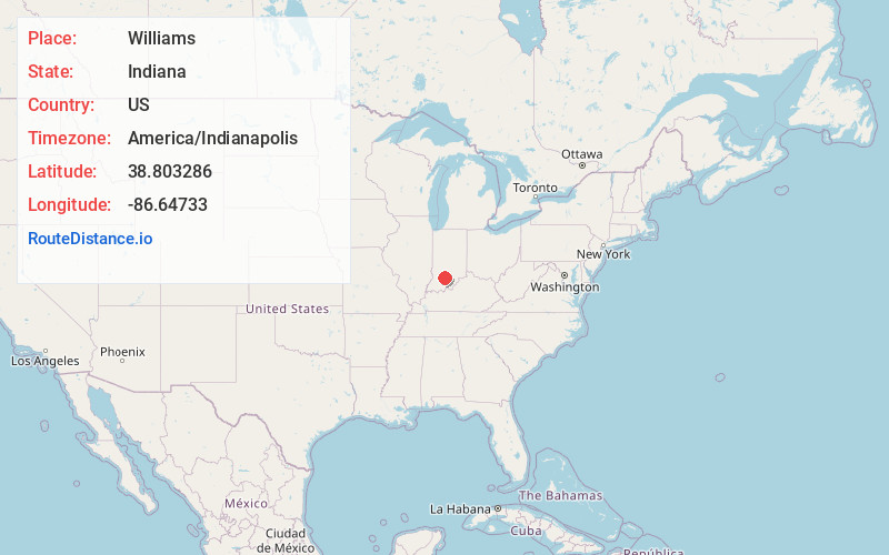
Location Information
-
Full AddressWilliams, IN 47470
-
Coordinates38.803286, -86.6473299
-
LocationWilliams , Indiana , US
-
TimezoneAmerica/Indianapolis
-
Page Views0
About Williams
Williams is an unincorporated town and census-designated place in Spice Valley Township, Lawrence County, Indiana, United States. As of the 2010 census, the population was 286.
Williams is situated on the East Fork of the White River.
Nearby Places
Found 10 places within 50 miles

Huron
5.7 mi
9.2 km
Huron, IN
Get directions
Avoca
9.2 mi
14.8 km
Avoca, IN
Get directions

Oolitic
9.4 mi
15.1 km
Oolitic, IN 47451
Get directions

Owensburg
9.4 mi
15.1 km
Owensburg, IN
Get directions

Bedford
9.5 mi
15.3 km
Bedford, IN 47421
Get directions
East Oolitic
9.8 mi
15.8 km
East Oolitic, IN
Get directions

Mitchell
10.5 mi
16.9 km
Mitchell, IN 47446
Get directions

Needmore
10.6 mi
17.1 km
Needmore, IN 47421
Get directions

Judah
12.2 mi
19.6 km
Judah, IN
Get directions

Shoals
12.2 mi
19.6 km
Shoals, IN 47581
Get directions
Location Links
Local Weather
Weather Information
Coming soon!
Location Map
Static map view of Williams, Indiana
Browse Places by Distance
Places within specific distances from Williams
Short Distances
Long Distances
Click any distance to see all places within that range from Williams. Distances shown in miles (1 mile ≈ 1.61 kilometers).