Distance to Huron, Indiana

Calculating Your Route
Just a moment while we process your request...
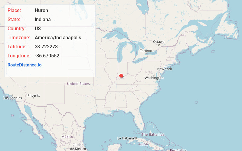
Location Information
-
Full AddressHuron, IN
-
Coordinates38.7222734, -86.6705517
-
LocationHuron , Indiana , US
-
TimezoneAmerica/Indianapolis
-
Page Views0
About Huron
Huron is a Census-designated place in Spice Valley Township, Lawrence County, in the U.S. state of Indiana.
Nearby Places
Found 10 places within 50 miles

Shoals
7.6 mi
12.2 km
Shoals, IN 47581
Get directions

Mitchell
10.6 mi
17.1 km
Mitchell, IN 47446
Get directions

West Baden Springs
11.3 mi
18.2 km
West Baden Springs, IN
Get directions

French Lick
12.3 mi
19.8 km
French Lick, IN 47432
Get directions

Orleans
12.5 mi
20.1 km
Orleans, IN 47452
Get directions

Loogootee
13.5 mi
21.7 km
Loogootee, IN 47553
Get directions

Bedford
13.8 mi
22.2 km
Bedford, IN 47421
Get directions

Owensburg
14.3 mi
23.0 km
Owensburg, IN
Get directions

Oolitic
14.6 mi
23.5 km
Oolitic, IN 47451
Get directions

Avoca
14.7 mi
23.7 km
Avoca, IN
Get directions
Location Links
Local Weather
Weather Information
Coming soon!
Location Map
Static map view of Huron, Indiana
Browse Places by Distance
Places within specific distances from Huron
Short Distances
Long Distances
Click any distance to see all places within that range from Huron. Distances shown in miles (1 mile ≈ 1.61 kilometers).