Distance to Williamstown Township, Michigan

Calculating Your Route
Just a moment while we process your request...
Location Information
-
Full AddressWilliamstown Township, MI
-
Coordinates42.7433368, -84.3331694
-
LocationWilliamstown Township , Michigan , US
-
TimezoneAmerica/Detroit
-
Current Local Time10:31:39 AM America/DetroitTuesday, June 3, 2025
-
Page Views0
About Williamstown Township
Williamstown Township is a civil township of Ingham County in the U.S. state of Michigan. As of the 2020 census, the township population was 5,286. The city of Williamston occupies the southeast corner of the township, but the two are administered autonomously.
Nearby Places
Found 10 places within 50 miles

Haslett
3.8 mi
6.1 km
Haslett, MI
Get directions

Williamston
4.5 mi
7.2 km
Williamston, MI 48895
Get directions

Meridian Township
4.7 mi
7.6 km
Meridian Township, MI
Get directions

Shaftsburg
4.7 mi
7.6 km
Shaftsburg, MI 48872
Get directions

Okemos
5.0 mi
8.0 km
Okemos, MI
Get directions
Woodhull Township
5.4 mi
8.7 km
Woodhull Township, MI
Get directions
Forest Green Estates
5.9 mi
9.5 km
Forest Green Estates, Perry Township, MI 48872
Get directions

Park Lake
6.2 mi
10.0 km
Park Lake, Bath Twp, MI 48808
Get directions

Locke Township
6.4 mi
10.3 km
Locke Township, MI
Get directions

Bath Twp
7.6 mi
12.2 km
Bath Twp, MI
Get directions
Location Links
Local Weather
Weather Information
Coming soon!
Location Map
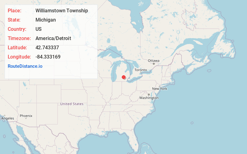
Static map view of Williamstown Township, Michigan
Browse Places by Distance
Places within specific distances from Williamstown Township
Short Distances
Long Distances
Click any distance to see all places within that range from Williamstown Township. Distances shown in miles (1 mile ≈ 1.61 kilometers).