Distance to Bath Twp, Michigan

Calculating Your Route
Just a moment while we process your request...
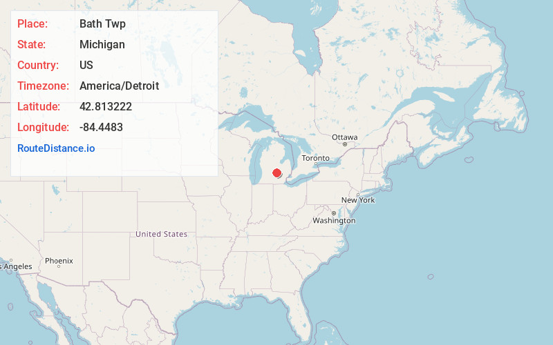
Location Information
-
Full AddressBath Twp, MI
-
Coordinates42.8132219, -84.4482995
-
LocationBath Twp , Michigan , US
-
TimezoneAmerica/Detroit
-
Current Local Time6:45:04 PM America/DetroitFriday, June 20, 2025
-
Page Views0
About Bath Twp
Bath is an unincorporated community and census-designated place in Clinton County in the U.S. state of Michigan. It is located in Bath Charter Township. As of the 2010 census, the CDP had a population of 2,083.


Nearby Places
Found 10 places within 50 miles

Park Lake
1.8 mi
2.9 km
Park Lake, Bath Twp, MI 48808
Get directions

Gunnisonville
3.8 mi
6.1 km
Gunnisonville, DeWitt Twp, MI 48906
Get directions

Haslett
5.0 mi
8.0 km
Haslett, MI
Get directions

Valley Farms
5.2 mi
8.4 km
Valley Farms, DeWitt Twp, MI 48906
Get directions

East Lansing
5.6 mi
9.0 km
East Lansing, MI
Get directions
East Dewitt
5.6 mi
9.0 km
East Dewitt, DeWitt Twp, MI 48820
Get directions

Okemos
6.4 mi
10.3 km
Okemos, MI
Get directions

DeWitt
6.4 mi
10.3 km
DeWitt, MI 48820
Get directions

Meridian Township
6.6 mi
10.6 km
Meridian Township, MI
Get directions

Laingsburg
7.2 mi
11.6 km
Laingsburg, MI 48848
Get directions
Location Links
Local Weather
Weather Information
Coming soon!
Location Map
Static map view of Bath Twp, Michigan
Browse Places by Distance
Places within specific distances from Bath Twp
Short Distances
Long Distances
Click any distance to see all places within that range from Bath Twp. Distances shown in miles (1 mile ≈ 1.61 kilometers).