Distance to Wilson Arch, Utah

Calculating Your Route
Just a moment while we process your request...
Location Information
-
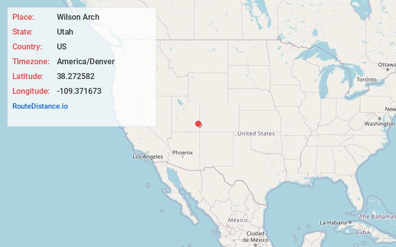
Full AddressWilson Arch, US-191, Moab, UT 84532
-
Coordinates38.2725822, -109.3716725
-
StreetUS-191
-
LocationMoab , Utah , US
-
TimezoneAmerica/Denver
-
Current Local Time7:42:56 PM America/DenverTuesday, May 27, 2025
-
Page Views0
About Wilson Arch
Dramatic red-tinted sandstone arch named after a 19th-century pioneer & set in a desert landscape.


Nearby Places
Found 10 places within 50 miles

Casa Colorado Rock
7.2 mi
11.6 km
Casa Colorado Rock, Utah 84535
Get directions

La Sal
7.2 mi
11.6 km
La Sal, UT 84530
Get directions

Old La Sal
12.7 mi
20.4 km
Old La Sal, UT 84530
Get directions

Spanish Valley
16.0 mi
25.7 km
Spanish Valley, UT 84532
Get directions

Moab
22.9 mi
36.9 km
Moab, UT 84532
Get directions

Paradox
23.1 mi
37.2 km
Paradox, CO
Get directions

Dead Horse Point State Park
25.2 mi
40.6 km
Dead Horse Point State Park, Moab, UT 84532
Get directions

Castle Valley
25.4 mi
40.9 km
Castle Valley, UT 84532
Get directions

Bedrock
26.2 mi
42.2 km
Bedrock, CO 81411
Get directions

Monticello
27.8 mi
44.7 km
Monticello, UT 84535
Get directions
Location Links
Local Weather
Weather Information
Coming soon!
Location Map
Static map view of Wilson Arch, Utah
Browse Places by Distance
Places within specific distances from Wilson Arch
Short Distances
Long Distances
Click any distance to see all places within that range from Wilson Arch. Distances shown in miles (1 mile ≈ 1.61 kilometers).