Distance to Wilton, North Carolina

Calculating Your Route
Just a moment while we process your request...
Location Information
-
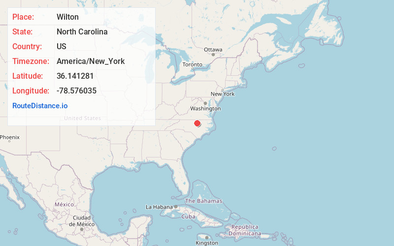
Full AddressWilton, NC 27522
-
Coordinates36.141281, -78.576035
-
LocationWilton , North Carolina , US
-
TimezoneAmerica/New_York
-
Current Local Time9:26:11 AM America/New_YorkWednesday, June 18, 2025
-
Page Views0
About Wilton
Wilton is an unincorporated community in southern Granville County, North Carolina, United States. It lies north of Grissom and is the former home of Wilton High School. The main intersection at the corner of NC Hwy 56 & NC Hwy 96 is the home of Adriano's Pizzeria, Wilton Grill, Dollar General and 76 Gas Station.
Nearby Places
Found 10 places within 50 miles

Mt Energy
3.8 mi
6.1 km
Mt Energy, Creedmoor, NC 27522
Get directions
Grissom
5.0 mi
8.0 km
Grissom, NC 27522
Get directions

Creedmoor
6.3 mi
10.1 km
Creedmoor, NC 27522
Get directions

Franklinton
7.1 mi
11.4 km
Franklinton, NC 27525
Get directions
Dickerson
8.6 mi
13.8 km
Dickerson, NC 27565
Get directions

Stem
9.1 mi
14.6 km
Stem, NC 27581
Get directions

Kittrell
9.5 mi
15.3 km
Kittrell, NC 27544
Get directions

Youngsville
9.8 mi
15.8 km
Youngsville, NC 27596
Get directions

Butner
10.1 mi
16.3 km
Butner, NC
Get directions

Shoofly
10.2 mi
16.4 km
Shoofly, NC 27581
Get directions
Location Links
Local Weather
Weather Information
Coming soon!
Location Map
Static map view of Wilton, North Carolina
Browse Places by Distance
Places within specific distances from Wilton
Short Distances
Long Distances
Click any distance to see all places within that range from Wilton. Distances shown in miles (1 mile ≈ 1.61 kilometers).