Distance to Wilton, Alabama

Calculating Your Route
Just a moment while we process your request...
Location Information
-
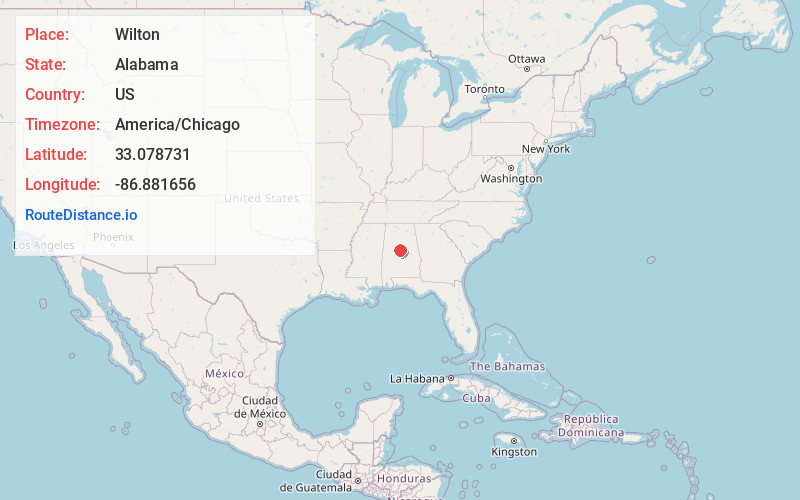
Full AddressWilton, AL 35115
-
Coordinates33.0787308, -86.8816562
-
LocationWilton , Alabama , US
-
TimezoneAmerica/Chicago
-
Current Local Time6:20:08 AM America/ChicagoMonday, May 19, 2025
-
Page Views0
About Wilton
Wilton, also known by the previous names of Birmingham Junction, Bismark, and Catoosa, is a town in Shelby County, Alabama, United States. It was incorporated in 1918. This town is part of the Birmingham–Hoover–Cullman Combined Statistical Area. At the 2010 census the population was 687, up from 580 in 2000.
Nearby Places
Found 10 places within 50 miles

Montevallo
1.8 mi
2.9 km
Montevallo, AL 35115
Get directions

Pea Ridge
5.8 mi
9.3 km
Pea Ridge, AL 35115
Get directions

Calera
7.6 mi
12.2 km
Calera, AL
Get directions
Brantleyville
9.4 mi
15.1 km
Brantleyville, AL 35114
Get directions

Jemison
11.3 mi
18.2 km
Jemison, AL 35085
Get directions

Alabaster
12.0 mi
19.3 km
Alabaster, AL
Get directions

West Blocton
14.3 mi
23.0 km
West Blocton, AL 35184
Get directions

Thorsby
14.8 mi
23.8 km
Thorsby, AL
Get directions

Pelham
14.9 mi
24.0 km
Pelham, AL
Get directions

Helena
15.2 mi
24.5 km
Helena, AL
Get directions
Location Links
Local Weather
Weather Information
Coming soon!
Location Map
Static map view of Wilton, Alabama
Browse Places by Distance
Places within specific distances from Wilton
Short Distances
Long Distances
Click any distance to see all places within that range from Wilton. Distances shown in miles (1 mile ≈ 1.61 kilometers).