Distance to Windsor Locks, Connecticut

Calculating Your Route
Just a moment while we process your request...
Location Information
-
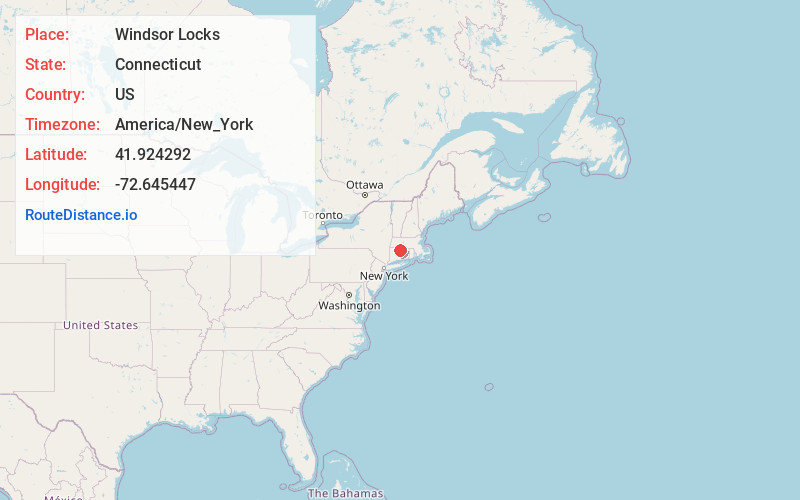
Full AddressWindsor Locks, CT
-
Coordinates41.9242917, -72.6454469
-
LocationWindsor Locks , Connecticut , US
-
TimezoneAmerica/New_York
-
Current Local Time1:48:36 AM America/New_YorkTuesday, May 20, 2025
-
Page Views0
About Windsor Locks
Windsor Locks is a town in Hartford County, Connecticut, United States. The town is part of the Capitol Planning Region. As of the 2020 census, its population was 12,613.


Nearby Places
Found 10 places within 50 miles

Rainbow
2.5 mi
4.0 km
Rainbow, Windsor, CT 06095
Get directions

East Windsor
4.5 mi
7.2 km
East Windsor, CT
Get directions

Windsor
5.0 mi
8.0 km
Windsor, CT
Get directions

Suffield
5.5 mi
8.9 km
Suffield, CT
Get directions
Farnhams
6.1 mi
9.8 km
Farnhams, South Windsor, CT 06074
Get directions
Floydville
6.9 mi
11.1 km
Floydville, East Granby, CT 06026
Get directions
Hoskins
7.4 mi
11.9 km
Hoskins, Simsbury, CT 06070
Get directions

Enfield
7.5 mi
12.1 km
Enfield, CT 06082
Get directions

Broad Brook
7.5 mi
12.1 km
Broad Brook, Connecticut
Get directions
Mechanicsville
8.2 mi
13.2 km
Mechanicsville, Granby, CT 06035
Get directions
Location Links
Local Weather
Weather Information
Coming soon!
Location Map
Static map view of Windsor Locks, Connecticut
Browse Places by Distance
Places within specific distances from Windsor Locks
Short Distances
Long Distances
Click any distance to see all places within that range from Windsor Locks. Distances shown in miles (1 mile ≈ 1.61 kilometers).