Distance to Floydville, Connecticut

Calculating Your Route
Just a moment while we process your request...
Location Information
-
Full AddressFloydville, East Granby, CT 06026
-
Coordinates41.9287082, -72.779818
-
LocationEast Granby , Connecticut , US
-
TimezoneAmerica/New_York
-
Current Local Time10:36:46 PM America/New_YorkFriday, May 30, 2025
-
Page Views0
Nearby Places
Found 10 places within 50 miles

Firetown
2.8 mi
4.5 km
Firetown, Simsbury, CT 06070
Get directions
Mechanicsville
2.9 mi
4.7 km
Mechanicsville, Granby, CT 06035
Get directions
Pegville
3.4 mi
5.5 km
Pegville, Granby, CT 06035
Get directions

Simsbury
4.2 mi
6.8 km
Simsbury, CT
Get directions
Rainbow
4.5 mi
7.2 km
Rainbow, Windsor, CT 06095
Get directions

Barkhamsted
6.9 mi
11.1 km
Barkhamsted, CT
Get directions
Camp Berkshire
7.2 mi
11.6 km
Camp Berkshire, Southwick, MA 01077
Get directions
Hartland
8.1 mi
13.0 km
Hartland, CT
Get directions

Avon
8.6 mi
13.8 km
Avon, CT
Get directions

Southwick
8.7 mi
14.0 km
Southwick, MA
Get directions
Location Links
Local Weather
Weather Information
Coming soon!
Location Map
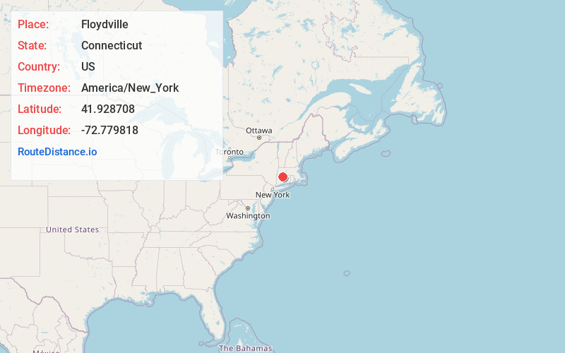
Static map view of Floydville, Connecticut
Browse Places by Distance
Places within specific distances from Floydville
Short Distances
Long Distances
Click any distance to see all places within that range from Floydville. Distances shown in miles (1 mile ≈ 1.61 kilometers).