Distance to Wingfield, Arizona

Calculating Your Route
Just a moment while we process your request...
Location Information
-
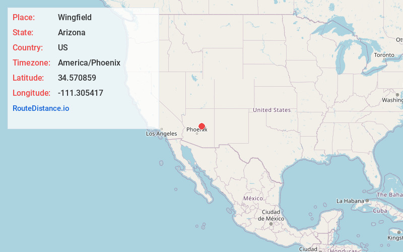
Full AddressWingfield, AZ 86024
-
Coordinates34.5708585, -111.3054171
-
LocationWingfield , Arizona , US
-
TimezoneAmerica/Phoenix
-
Current Local Time4:56:58 PM America/PhoenixThursday, June 19, 2025
-
Page Views0
Nearby Places
Found 10 places within 50 miles

Clints Well
1.2 mi
1.9 km
Clints Well, AZ 86024
Get directions
Long Valley
3.7 mi
6.0 km
Long Valley, AZ 86024
Get directions
Lost Eden
4.9 mi
7.9 km
Lost Eden, AZ 86024
Get directions

C.C. Cragin Reservoir
6.7 mi
10.8 km
C.C. Cragin Reservoir, Arizona 86024
Get directions

Washington Park
10.4 mi
16.7 km
Washington Park, AZ 85541
Get directions

Happy Jack
13.3 mi
21.4 km
Happy Jack, AZ 86024
Get directions

Pine
15.4 mi
24.8 km
Pine, AZ 85544
Get directions

Strawberry
15.5 mi
24.9 km
Strawberry, AZ 85544
Get directions

Beaver Valley Estates
16.2 mi
26.1 km
Beaver Valley Estates, Beaver Valley, AZ 85541
Get directions
Freedom Acres
17.5 mi
28.2 km
Freedom Acres, AZ 85541
Get directions
Location Links
Local Weather
Weather Information
Coming soon!
Location Map
Static map view of Wingfield, Arizona
Browse Places by Distance
Places within specific distances from Wingfield
Short Distances
Long Distances
Click any distance to see all places within that range from Wingfield. Distances shown in miles (1 mile ≈ 1.61 kilometers).