Distance to Winona, Michigan

Calculating Your Route
Just a moment while we process your request...
Location Information
-
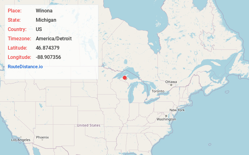
Full AddressWinona, MI 49965
-
Coordinates46.8743786, -88.9073564
-
LocationWinona , Michigan , US
-
TimezoneAmerica/Detroit
-
Current Local Time1:40:16 PM America/DetroitMonday, June 30, 2025
-
Page Views0
About Winona
Winona, Michigan is an unincorporated community, ghost town and one-time boomtown of Elm River Township in Houghton County, Michigan. It was once home to over 1,000 individuals in 1920, but today is home to as few as 13. It is located 33 miles to the south of the city of Houghton off of M-26.
Nearby Places
Found 10 places within 50 miles

Donken
7.1 mi
11.4 km
Donken, MI 49965
Get directions
White
8.3 mi
13.4 km
White, MI 49952
Get directions
Alston
10.3 mi
16.6 km
Alston, MI 49958
Get directions

Firesteel River
10.7 mi
17.2 km
Firesteel River, Michigan 49953
Get directions

Greenland
11.3 mi
18.2 km
Greenland, MI
Get directions

Mass City
11.4 mi
18.3 km
Mass City, MI 49948
Get directions
Wasas
11.7 mi
18.8 km
Wasas, MI 49948
Get directions

Pelkie
13.5 mi
21.7 km
Pelkie, MI 49958
Get directions
Pori
13.7 mi
22.0 km
Pori, MI 49948
Get directions

Champion Mine
15.7 mi
25.3 km
Champion Mine, MI 49905
Get directions
Location Links
Local Weather
Weather Information
Coming soon!
Location Map
Static map view of Winona, Michigan
Browse Places by Distance
Places within specific distances from Winona
Short Distances
Long Distances
Click any distance to see all places within that range from Winona. Distances shown in miles (1 mile ≈ 1.61 kilometers).