Distance to Winslow, Kentucky

Calculating Your Route
Just a moment while we process your request...
Location Information
-
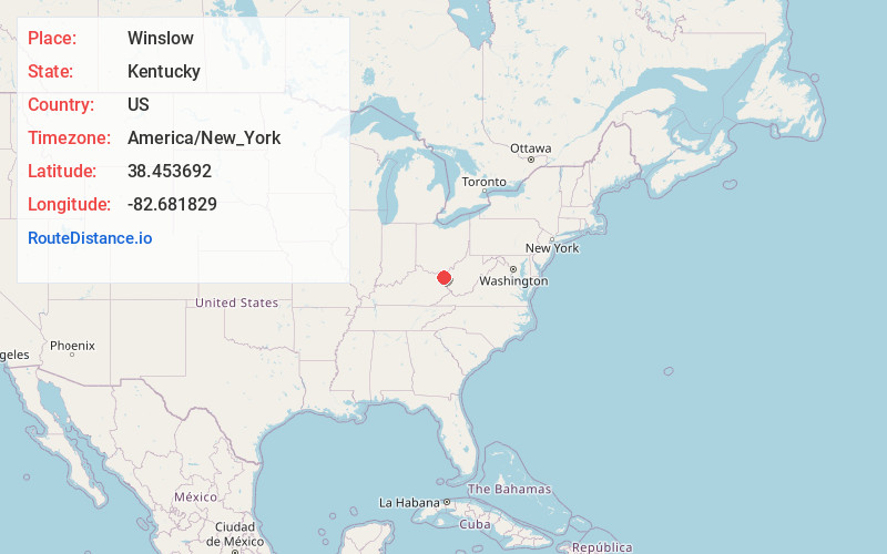
Full AddressWinslow, KY 41102
-
Coordinates38.4536924, -82.6818286
-
LocationWinslow , Kentucky , US
-
TimezoneAmerica/New_York
-
Current Local Time2:31:24 AM America/New_YorkTuesday, July 1, 2025
-
Page Views0
About Winslow
Winslow is an unincorporated community and former coal town on KY 1134 in Boyd County, Kentucky, United States. Its post office is closed.
Nearby Places
Found 10 places within 50 miles

Ironville
0.6 mi
1.0 km
Ironville, KY 41102
Get directions

Summit
1.5 mi
2.4 km
Summit, KY 41102
Get directions
Westwood
2.1 mi
3.4 km
Westwood, KY
Get directions
Rockdale
2.6 mi
4.2 km
Rockdale, KY 41102
Get directions
Bellefonte
2.7 mi
4.3 km
Bellefonte, KY 41101
Get directions

Ashland
3.0 mi
4.8 km
Ashland, KY
Get directions
Meads
3.2 mi
5.1 km
Meads, KY 41102
Get directions

Coal Grove
3.9 mi
6.3 km
Coal Grove, OH 45638
Get directions

Russell
4.5 mi
7.2 km
Russell, KY
Get directions
Cannonsburg
4.6 mi
7.4 km
Cannonsburg, KY
Get directions
Location Links
Local Weather
Weather Information
Coming soon!
Location Map
Static map view of Winslow, Kentucky
Browse Places by Distance
Places within specific distances from Winslow
Short Distances
Long Distances
Click any distance to see all places within that range from Winslow. Distances shown in miles (1 mile ≈ 1.61 kilometers).