Distance to Winthrop, Missouri

Calculating Your Route
Just a moment while we process your request...
Location Information
-
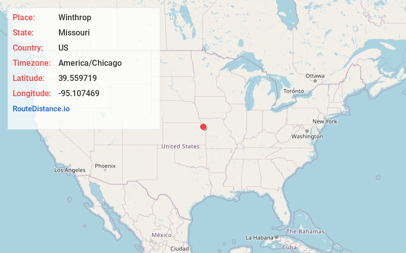
Full AddressWinthrop, MO 64484
-
Coordinates39.5597185, -95.1074685
-
LocationWinthrop , Missouri , US
-
TimezoneAmerica/Chicago
-
Current Local Time6:34:23 PM America/ChicagoTuesday, June 3, 2025
-
Page Views0
About Winthrop
Winthrop is an unincorporated community in southwest Buchanan County, in the U.S. state of Missouri. The community is just east of the Missouri River and Atchison, Kansas on US Route 59 and Missouri routes 45 and 273.
Nearby Places
Found 10 places within 50 miles

Atchison
0.8 mi
1.3 km
Atchison, KS
Get directions

Sugar Lake
3.0 mi
4.8 km
Sugar Lake, MO 64484
Get directions

Lewis and Clark Village
3.1 mi
5.0 km
Lewis and Clark Village, MO 64484
Get directions
Dalbey
4.6 mi
7.4 km
Dalbey, Walnut Township, KS 66002
Get directions

Rushville
4.7 mi
7.6 km
Rushville, MO 64484
Get directions
St Pats
5.7 mi
9.2 km
St Pats, Walnut Township, KS 66002
Get directions
Doniphan
5.8 mi
9.3 km
Doniphan, KS 66087
Get directions
Parnell
6.4 mi
10.3 km
Parnell, Mt Pleasant Township, KS 66016
Get directions
Good Intent
6.5 mi
10.5 km
Good Intent, Shannon Township, KS 66002
Get directions
Shannon
7.2 mi
11.6 km
Shannon, Lancaster Township, KS 66002
Get directions
Location Links
Local Weather
Weather Information
Coming soon!
Location Map
Static map view of Winthrop, Missouri
Browse Places by Distance
Places within specific distances from Winthrop
Short Distances
Long Distances
Click any distance to see all places within that range from Winthrop. Distances shown in miles (1 mile ≈ 1.61 kilometers).