Distance to Wolf, Wyoming

Calculating Your Route
Just a moment while we process your request...
Location Information
-
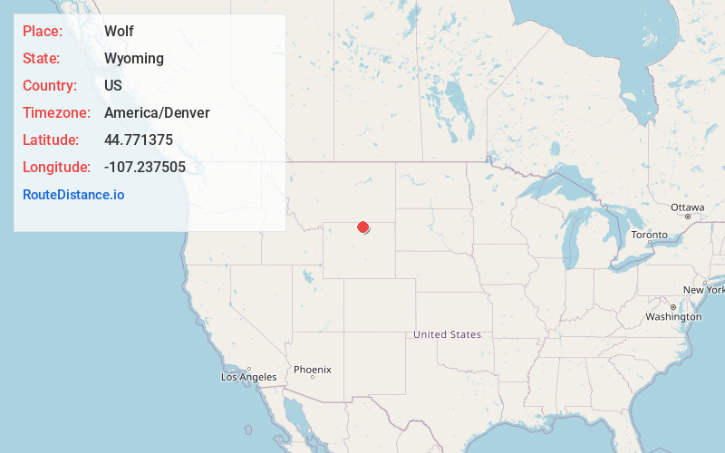
Full AddressWolf, WY 82844
-
Coordinates44.7713749, -107.2375054
-
LocationWolf , Wyoming , US
-
TimezoneAmerica/Denver
-
Current Local Time4:37:02 AM America/DenverFriday, May 30, 2025
-
Page Views0
About Wolf
Wolf is an unincorporated community in Sheridan County, Wyoming, United States. Its elevation is 4,626 feet. Although Wolf is unincorporated, it had a post office, with the ZIP code of 82844 which closed in 1993. Public education in the community of Wolf is provided by Sheridan County School District #2.


Nearby Places
Found 10 places within 50 miles

Beckton
5.5 mi
8.9 km
Beckton, WY 82801
Get directions

Dayton
7.3 mi
11.7 km
Dayton, WY
Get directions

Ranchester
10.2 mi
16.4 km
Ranchester, WY
Get directions

Big Horn
13.6 mi
21.9 km
Big Horn, WY
Get directions
Parkman
13.6 mi
21.9 km
Parkman, WY 82838
Get directions

Sheridan
13.9 mi
22.4 km
Sheridan, WY 82801
Get directions
Kleenburn
14.3 mi
23.0 km
Kleenburn, WY 82839
Get directions
Acme
15.7 mi
25.3 km
Acme, WY 82839
Get directions

Aberdeen
20.4 mi
32.8 km
Aberdeen, MT 59089
Get directions
Banner
21.7 mi
34.9 km
Banner, WY 82832
Get directions
Location Links
Local Weather
Weather Information
Coming soon!
Location Map
Static map view of Wolf, Wyoming
Browse Places by Distance
Places within specific distances from Wolf
Short Distances
Long Distances
Click any distance to see all places within that range from Wolf. Distances shown in miles (1 mile ≈ 1.61 kilometers).