Distance to Womack, Missouri

Calculating Your Route
Just a moment while we process your request...
Location Information
-
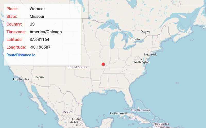
Full AddressWomack, MO 63645
-
Coordinates37.681164, -90.1965065
-
LocationWomack , Missouri , US
-
TimezoneAmerica/Chicago
-
Current Local Time9:15:58 AM America/ChicagoSaturday, June 14, 2025
-
Page Views0
About Womack
Womack is an unincorporated community in Saline Township in the extreme southern part of Sainte Genevieve County, Missouri, United States. It is located approximately twenty miles southwest of Sainte Genevieve. Womack's post office is closed, with mail now delivered from Fredericktown.
Nearby Places
Found 10 places within 50 miles

Avon
5.1 mi
8.2 km
Avon, MO 63670
Get directions
Parker Lake
6.5 mi
10.5 km
Parker Lake, MO 63775
Get directions
Mine La Motte
6.8 mi
10.9 km
Mine La Motte, MO 63645
Get directions
Junction City
8.8 mi
14.2 km
Junction City, MO 63645
Get directions

Knob Lick
9.4 mi
15.1 km
Knob Lick, MO 63640
Get directions

Fredericktown
9.9 mi
15.9 km
Fredericktown, MO 63645
Get directions
Yount
10.1 mi
16.3 km
Yount, MO 63775
Get directions
Catherine Place
10.1 mi
16.3 km
Catherine Place, Fredericktown, MO 63645
Get directions
Cobalt
10.6 mi
17.1 km
Cobalt, MO 63645
Get directions
Silver Lake
11.3 mi
18.2 km
Silver Lake, MO 63775
Get directions
Location Links
Local Weather
Weather Information
Coming soon!
Location Map
Static map view of Womack, Missouri
Browse Places by Distance
Places within specific distances from Womack
Short Distances
Long Distances
Click any distance to see all places within that range from Womack. Distances shown in miles (1 mile ≈ 1.61 kilometers).