Distance to Yount, Missouri

Calculating Your Route
Just a moment while we process your request...
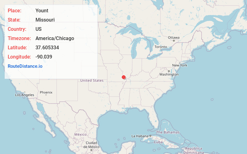
Location Information
-
Full AddressYount, MO 63775
-
Coordinates37.6053335, -90.0389998
-
LocationYount , Missouri , US
-
TimezoneAmerica/Chicago
-
Current Local Time5:07:44 AM America/ChicagoWednesday, June 18, 2025
-
Page Views0
About Yount
Yount is an unincorporated settlement in Saint Mary's Township in Perry County, Missouri.
Nearby Places
Found 10 places within 50 miles

Alliance
3.8 mi
6.1 km
Alliance, MO 63775
Get directions
North Patton
5.3 mi
8.5 km
North Patton, Union Township, MO 63775
Get directions
Parker Lake
6.0 mi
9.7 km
Parker Lake, MO 63775
Get directions
Silver Lake
6.0 mi
9.7 km
Silver Lake, MO 63775
Get directions
Lixville
7.2 mi
11.6 km
Lixville, Whitewater Township, MO 63775
Get directions
Patton
7.4 mi
11.9 km
Patton, MO 63662
Get directions
Millheim
8.3 mi
13.4 km
Millheim, Cinque Hommes Township, MO 63775
Get directions
Highland
9.0 mi
14.5 km
Highland, MO 63775
Get directions
Sedgewickville
9.5 mi
15.3 km
Sedgewickville, MO 63743
Get directions
Biehle
10.8 mi
17.4 km
Biehle, MO 63775
Get directions
Location Links
Local Weather
Weather Information
Coming soon!
Location Map
Static map view of Yount, Missouri
Browse Places by Distance
Places within specific distances from Yount
Short Distances
Long Distances
Click any distance to see all places within that range from Yount. Distances shown in miles (1 mile ≈ 1.61 kilometers).