Distance to Wood Place, Montana

Calculating Your Route
Just a moment while we process your request...
Location Information
-
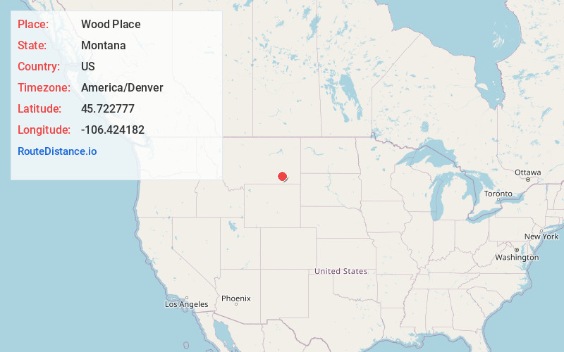
Full AddressWood Place, MT 59327
-
Coordinates45.7227767, -106.4241823
-
LocationWood Place , Montana , US
-
TimezoneAmerica/Denver
-
Current Local Time6:03:51 AM America/DenverThursday, June 19, 2025
-
Page Views0
Nearby Places
Found 10 places within 50 miles

Ashland
10.5 mi
16.9 km
Ashland, MT 59003
Get directions

Brandenberg
11.2 mi
18.0 km
Brandenberg, MT 59327
Get directions
Jimtown
13.1 mi
21.1 km
Jimtown, MT 59327
Get directions

Lame Deer
13.6 mi
21.9 km
Lame Deer, MT
Get directions

Colstrip
14.7 mi
23.7 km
Colstrip, MT 59323
Get directions
B and R Subdivision
16.9 mi
27.2 km
B and R Subdivision, MT 59323
Get directions
Muddy
17.7 mi
28.5 km
Muddy, MT
Get directions
Willow Crossing
17.7 mi
28.5 km
Willow Crossing, MT 59003
Get directions
Birney Day School
21.3 mi
34.3 km
Birney Day School, Birney, MT 59012
Get directions
Crain Place
22.9 mi
36.9 km
Crain Place, MT 59327
Get directions
Location Links
Local Weather
Weather Information
Coming soon!
Location Map
Static map view of Wood Place, Montana
Browse Places by Distance
Places within specific distances from Wood Place
Short Distances
Long Distances
Click any distance to see all places within that range from Wood Place. Distances shown in miles (1 mile ≈ 1.61 kilometers).