Distance to Woodside, Utah

Calculating Your Route
Just a moment while we process your request...
Location Information
-
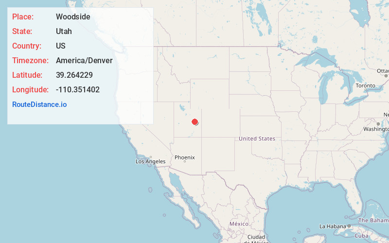
Full AddressWoodside, UT
-
Coordinates39.264229, -110.351402
-
LocationWoodside , Utah , US
-
TimezoneAmerica/Denver
-
Current Local Time8:34:02 PM America/DenverSaturday, June 14, 2025
-
Page Views0
About Woodside
Woodside is a ghost town located on the west bank of the shallow Price River in the nearly uninhabited eastern part of Emery County, Utah, United States. Its fenced-in filling station is one of the only signs of human activity along the lonely stretch of U.S. Route 6/191 between Wellington and Green River.


Nearby Places
Found 10 places within 50 miles

Green River
21.2 mi
34.1 km
Green River, UT
Get directions

Elmo
26.3 mi
42.3 km
Elmo, UT 84521
Get directions

Cleveland
27.4 mi
44.1 km
Cleveland, UT 84518
Get directions

Wellington
28.1 mi
45.2 km
Wellington, UT
Get directions

Huntington
33.1 mi
53.3 km
Huntington, UT 84528
Get directions

Price
33.7 mi
54.2 km
Price, UT 84501
Get directions

West Wood
35.2 mi
56.6 km
West Wood, UT 84501
Get directions

Castle Dale
35.9 mi
57.8 km
Castle Dale, UT
Get directions

Orangeville
37.7 mi
60.7 km
Orangeville, UT 84537
Get directions

Kenilworth
38.0 mi
61.2 km
Kenilworth, UT
Get directions
Location Links
Local Weather
Weather Information
Coming soon!
Location Map
Static map view of Woodside, Utah
Browse Places by Distance
Places within specific distances from Woodside
Short Distances
Long Distances
Click any distance to see all places within that range from Woodside. Distances shown in miles (1 mile ≈ 1.61 kilometers).