Distance to Woodstock, Connecticut

Calculating Your Route
Just a moment while we process your request...
Location Information
-
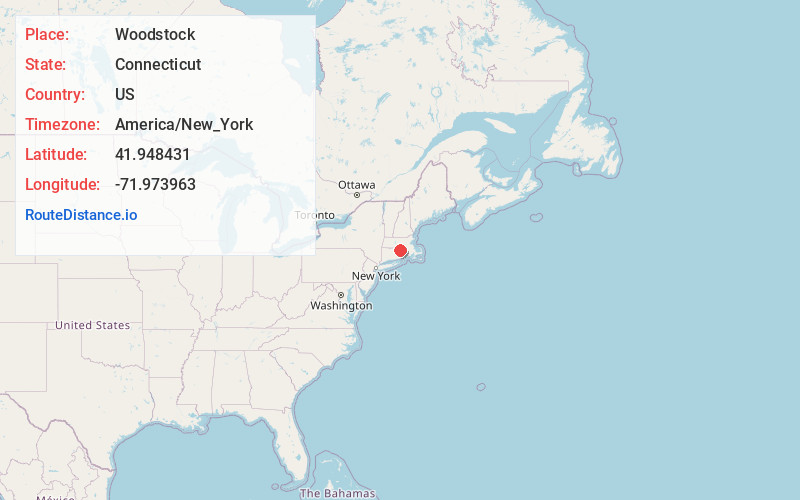
Full AddressWoodstock, CT
-
Coordinates41.9484307, -71.9739625
-
LocationWoodstock , Connecticut , US
-
TimezoneAmerica/New_York
-
Current Local Time12:56:23 AM America/New_YorkSunday, June 1, 2025
-
Website
-
Page Views0
About Woodstock
Woodstock is a town in Windham County, Connecticut, United States. The town is part of the Northeastern Connecticut Planning Region. The population was 8,221 at the 2020 census.


Nearby Places
Found 10 places within 50 miles

Roseland Park
0.9 mi
1.4 km
Roseland Park, Woodstock, CT 06281
Get directions
North Woodstock
3.1 mi
5.0 km
North Woodstock, Woodstock, CT 06281
Get directions
West Dudley
6.9 mi
11.1 km
West Dudley, Dudley, MA 01571
Get directions

Dudley
7.0 mi
11.3 km
Dudley, MA 01571
Get directions

Pineville
7.8 mi
12.6 km
Pineville, Killingly, CT 06241
Get directions
Quaddick
7.9 mi
12.7 km
Quaddick, Thompson, CT 06277
Get directions

Webster
8.5 mi
13.7 km
Webster, MA 01570
Get directions

Killingly
8.9 mi
14.3 km
Killingly, CT
Get directions

Ashford
9.2 mi
14.8 km
Ashford, CT 06278
Get directions

Southbridge
9.3 mi
15.0 km
Southbridge, MA
Get directions
Location Links
Local Weather
Weather Information
Coming soon!
Location Map
Static map view of Woodstock, Connecticut
Browse Places by Distance
Places within specific distances from Woodstock
Short Distances
Long Distances
Click any distance to see all places within that range from Woodstock. Distances shown in miles (1 mile ≈ 1.61 kilometers).