Distance to Woodstock, New Hampshire

Calculating Your Route
Just a moment while we process your request...
Location Information
-
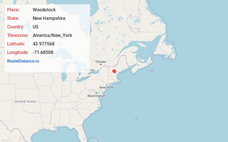
Full AddressWoodstock, NH
-
Coordinates43.9775681, -71.6850802
-
LocationWoodstock , New Hampshire , US
-
TimezoneAmerica/New_York
-
Current Local Time12:52:48 PM America/New_YorkSaturday, June 14, 2025
-
Website
-
Page Views0
About Woodstock
Woodstock is a town in Grafton County, New Hampshire, United States. The population was 1,434 at the 2020 census. Woodstock includes the village of North Woodstock, the commercial center. Its extensive land area is largely forested, and includes the Hubbard Brook Experimental Forest.


Nearby Places
Found 10 places within 50 miles

Lincoln
4.7 mi
7.6 km
Lincoln, NH
Get directions

Thornton
5.9 mi
9.5 km
Thornton, NH
Get directions

Campton
10.9 mi
17.5 km
Campton, NH 03223
Get directions

Rumney
13.5 mi
21.7 km
Rumney, NH
Get directions

Plymouth
15.2 mi
24.5 km
Plymouth, NH 03264
Get directions

Sandwich
17.0 mi
27.4 km
Sandwich, NH
Get directions

Holderness
17.6 mi
28.3 km
Holderness, NH
Get directions

Haverhill
19.2 mi
30.9 km
Haverhill, NH
Get directions

Ashland
19.7 mi
31.7 km
Ashland, NH
Get directions

Lisbon
19.8 mi
31.9 km
Lisbon, NH
Get directions
Location Links
Local Weather
Weather Information
Coming soon!
Location Map
Static map view of Woodstock, New Hampshire
Browse Places by Distance
Places within specific distances from Woodstock
Short Distances
Long Distances
Click any distance to see all places within that range from Woodstock. Distances shown in miles (1 mile ≈ 1.61 kilometers).