Distance to Woolardtown, Tennessee

Calculating Your Route
Just a moment while we process your request...
Location Information
-
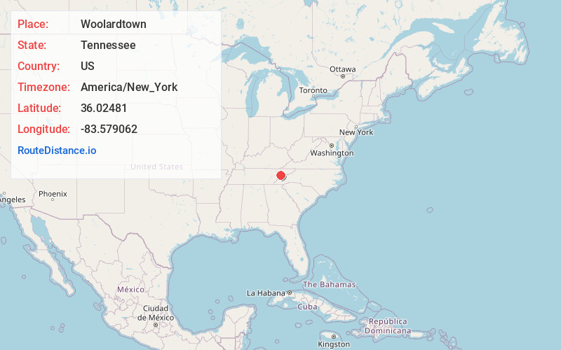
Full AddressWoolardtown, TN 37820
-
Coordinates36.0248103, -83.5790619
-
LocationWoolardtown , Tennessee , US
-
TimezoneAmerica/New_York
-
Current Local Time1:54:26 PM America/New_YorkTuesday, July 1, 2025
-
Page Views0
Nearby Places
Found 10 places within 50 miles

Cook Mill
2.3 mi
3.7 km
Cook Mill, TN 37820
Get directions
Piedmont
2.9 mi
4.7 km
Piedmont, TN 37725
Get directions
Underwood
3.6 mi
5.8 km
Underwood, TN 37764
Get directions
Henry Crossroads
4.7 mi
7.6 km
Henry Crossroads, Sevierville, TN 37764
Get directions
Beech Springs
4.7 mi
7.6 km
Beech Springs, TN 37764
Get directions
Hodges
5.0 mi
8.0 km
Hodges, TN 37871
Get directions

New Market
5.7 mi
9.2 km
New Market, TN 37820
Get directions

Strawberry Plains
6.5 mi
10.5 km
Strawberry Plains, TN 37871
Get directions

Black Oak Ridge
7.1 mi
11.4 km
Black Oak Ridge, Tennessee 37876
Get directions
Alder Branch
7.3 mi
11.7 km
Alder Branch, TN 37876
Get directions
Location Links
Local Weather
Weather Information
Coming soon!
Location Map
Static map view of Woolardtown, Tennessee
Browse Places by Distance
Places within specific distances from Woolardtown
Short Distances
Long Distances
Click any distance to see all places within that range from Woolardtown. Distances shown in miles (1 mile ≈ 1.61 kilometers).