Distance to Wye Mills, Maryland

Calculating Your Route
Just a moment while we process your request...
Location Information
-
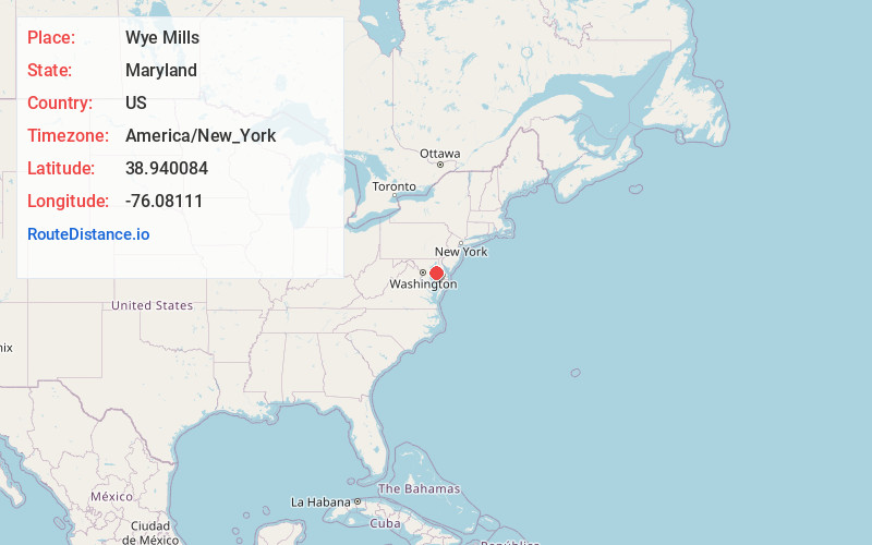
Full AddressWye Mills, MD
-
Coordinates38.9400842, -76.0811097
-
LocationWye Mills , Maryland , US
-
TimezoneAmerica/New_York
-
Current Local Time5:13:34 PM America/New_YorkWednesday, June 4, 2025
-
Page Views0
About Wye Mills
Wye Mills is an unincorporated community in Talbot County, Maryland, United States, located at an altitude of 20 feet. Wye Mills is located at the intersection of Maryland routes 404 and 662, just south of the Queen Anne's County border.


Nearby Places
Found 10 places within 50 miles

Willoughby
3.4 mi
5.5 km
Willoughby, MD 21657
Get directions

Queenstown
5.4 mi
8.7 km
Queenstown, MD 21658
Get directions

Cordova
6.4 mi
10.3 km
Cordova, MD 21625
Get directions
Queen Anne
6.9 mi
11.1 km
Queen Anne, MD
Get directions

Grasonville
7.1 mi
11.4 km
Grasonville, MD
Get directions

Centreville
7.1 mi
11.4 km
Centreville, MD 21617
Get directions

Hillsboro
7.8 mi
12.6 km
Hillsboro, MD
Get directions
Ruthsburg
7.9 mi
12.7 km
Ruthsburg, MD 21617
Get directions

Kent Narrows
8.7 mi
14.0 km
Kent Narrows, MD
Get directions
Copperville
9.3 mi
15.0 km
Copperville, MD 21601
Get directions
Location Links
Local Weather
Weather Information
Coming soon!
Location Map
Static map view of Wye Mills, Maryland
Browse Places by Distance
Places within specific distances from Wye Mills
Short Distances
Long Distances
Click any distance to see all places within that range from Wye Mills. Distances shown in miles (1 mile ≈ 1.61 kilometers).