Distance to Xochimilco, Mexico City

Calculating Your Route
Just a moment while we process your request...
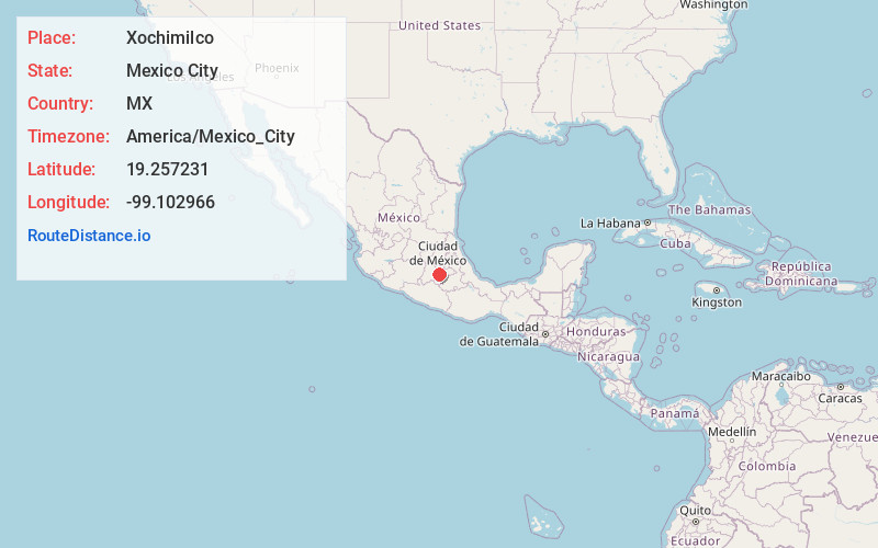
Location Information
-
Full AddressXochimilco, CDMX, Mexico
-
Coordinates19.2572314, -99.1029664
-
LocationMexico City , MX
-
TimezoneAmerica/Mexico_City
-
Current Local Time6:34:03 AM America/Mexico_CityMonday, June 2, 2025
-
Page Views0
About Xochimilco
In southern Mexico City, a gritty working-class neighborhood gives way to the famous canals of Xochimilco, the last remnants of a vast water transport system built by the Aztecs. Colorful gondola-like boats take visitors on cruises while food vendors, artisans and mariachi bands float past. The atmosphere is festive, especially on weekends. Tourists can also visit the eerie, purportedly haunted Island of the Dolls.


Nearby Places
Found 5 places within 50 miles

Mexico City
12.3 mi
19.8 km
Mexico City, CDMX, Mexico
Get directions

Ixtapaluca
13.2 mi
21.2 km
Ixtapaluca, State of Mexico, Mexico
Get directions

Tepoztlán
18.8 mi
30.3 km
Tepoztlán, Morelos, Mexico
Get directions

Cuernavaca
24.3 mi
39.1 km
Cuernavaca, Morelos, Mexico
Get directions

Toluca
36.1 mi
58.1 km
Toluca, State of Mexico, Mexico
Get directions
Location Links
Local Weather
Weather Information
Coming soon!
Location Map
Static map view of Xochimilco, Mexico City
Browse Places by Distance
Places within specific distances from Xochimilco
Short Distances
Long Distances
Click any distance to see all places within that range from Xochimilco. Distances shown in miles (1 mile ≈ 1.61 kilometers).